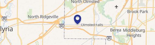
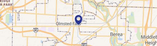
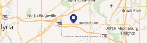
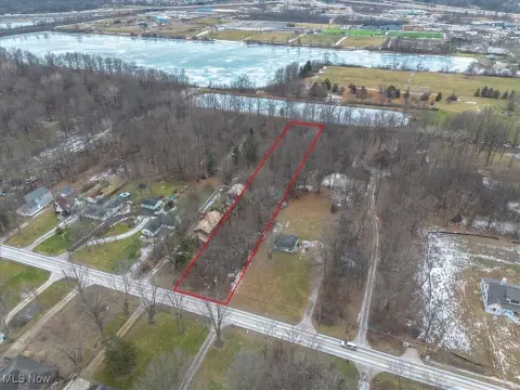
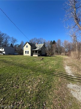
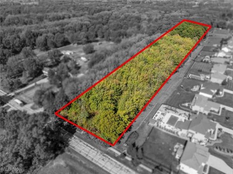
Maple Way Dr Olmsted Falls, OH 44138
To establish the P-2 Professional Office/Multi-Family Districts to provide areas for offices and multi-family dwelling units in locations adjacent to the City's commercial centers, and to permit a mix of these uses in the same building to encourage a village mixed-use environment
Cap rate
Implied · in-place · derived from last sale + estimated NOIValue
AI, CAP & Alternative Use estimations · Realmo proprietary blendProperty tax & assessments
Tax year 2023Comparables
6 recent transactions · within 1.5 miComparable in this City


Similar Nearby for Sale
Similar Nearby for Lease


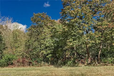
Property description
Physical attributes from public recordsZoning & alternative use
P-2 · Olmsted Falls, OHTo establish the P-2 Professional Office/Multi-Family Districts to provide areas for offices and multi-family dwelling units in locations adjacent to the City's commercial centers, and to permit a mix of these uses in the same building to encourage a village mixed-use environment
Costs & Benchmarks
Operating expenses, capex projections, utility benchmarks, and submarket comparables — all in one view.
Risks
Flood, climate, environmental, title, and tenant-concentration risk — surfaced with mitigations and source citations.


