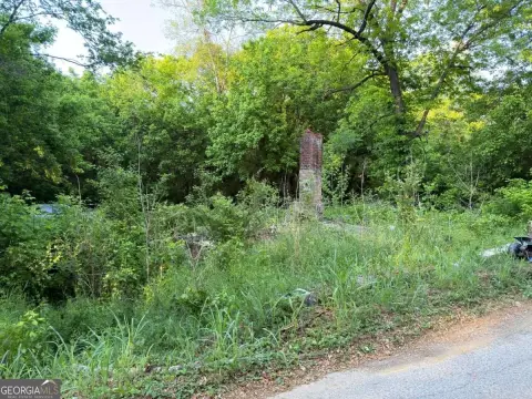
Maple Lindale Rd Lindale, GA 30147
Property profile & analytics
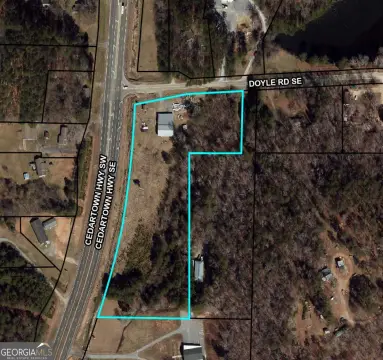
Maple Lindale Rd, Lindale, GA 30147
- Grocery and convenience stores
- 6,064 SF
- 0.95 lot acres
Property ID
US22-2614451
The Realmo ID is a unique identifier assigned to every property, incorporating country codes and precise geo-coordinates for 300x300-foot land blocks. It enables standardized data collection and seamless integration of disparate sources such as ownership, tax, title data and physical specifications. By aggregating current and historical records, the Realmo ID powers advanced analytics and delivers deep, verifiable insights for real estate professionals.
Location Intelligence
Current Use by Public Records
- Grocery and convenience stores
Property Details for Maple Lindale Rd
- Year built
- 1968
- Construction
- MASONRY/CONCRETE MASONRY UNITS (CMUS)
- Lot size
- 0.95 lot acres
- Zone code
- C-C
- Property type
- Grocery and convenience stores
- APN
- J16X- -250 -
- APU
- J16X250
Sales History
| Date | Price | Buyer | Seller | Deed Type | Mortgage |
|---|---|---|---|---|---|
| Feb 14, 2018 | — | Donna D Evans | Evans,robert C | Quit Claim Deed · related | — |
Value Estimations
based on Realmo’s proprietary methodology
-
Comparable approach
- Method
- Estimation
- Statistic Estimate
- $622,000
- AI Estimate
- $478,000
Market price range: $623k - $1.88MMarket price range: $479k - $1.01M -
Alternative Use
- Use
- Estimation
- COMMERCIAL (GENERAL)
- $705,000
- RESTAURANT
- $630,000
- AUTO REPAIR, GARAGE
- $585,000
- RETAIL STORES
- $515,000
- MEDICAL BUILDING
- $390,000
Get a detailed, property-specific estimation — fast and free
Location Insight
- Map
- Local Demand
- City
- Lindale
- County
- Floyd
- State
- Georgia
- Longitude
- -85.1725
- Latitude
- 34.2
- CBSA code
- 40660
- CBSA name
- ROME, GA METROPOLITAN STATISTICAL AREA
Property Tax & Assessments
Tax date
Tax Amount
Assessed Land Value
Assessed Improvement Value
Total Assessed Value
Applied Tax Rate
Land Market Value
Improvement Market Value
Total Market Value
2023
$3,314
$28,966
$86,619
$115,585
-
$72,415
$216,547
$288,962