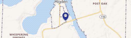
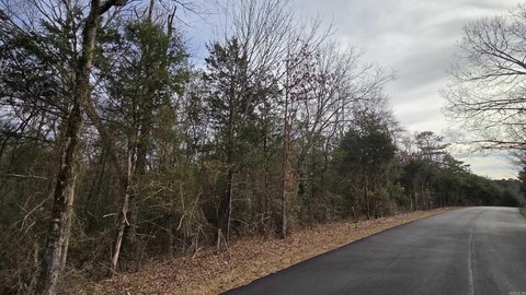
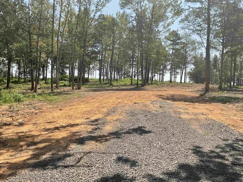
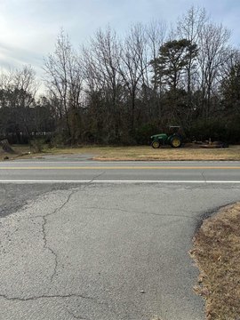
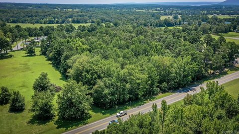
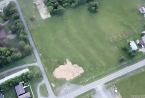
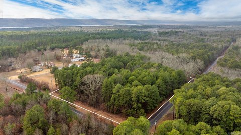
Hwy 92nd E Greers Ferry, AR 72067
Property profile & analytics
Hwy 92nd E, Greers Ferry, AR 72067
- Commercial land
- 0.69 lot acres
Property ID
US05-1444795
The Realmo ID is a unique identifier assigned to every property, incorporating country codes and precise geo-coordinates for 300x300-foot land blocks. It enables standardized data collection and seamless integration of disparate sources such as ownership, tax, title data and physical specifications. By aggregating current and historical records, the Realmo ID powers advanced analytics and delivers deep, verifiable insights for real estate professionals.
Location Intelligence
Current Use by Public Records
- Commercial land
Property Details for Hwy 92nd E
- Lot size
- 0.69 lot acres
- Property type
- Commercial land
- APN
- 200-00919-000-C
- APU
- 20000919000C
Sales History
| Date | Price | Buyer | Seller | Deed Type | Mortgage |
|---|---|---|---|---|---|
| Dec 28, 2021 | — | Melissa Carr | Mary E Brewer | Affidavit Of Death Of Joint Tenant | — |
| Jun 26, 2006 | — | Mary E Brewer | Clarabel M Rogers | Warranty Deed | — |
Value Estimations
based on Realmo’s proprietary methodology
-
AI approach
-
CAP approach
-
Comparable approach
-
Alternative Use
Get a detailed, property-specific estimation — fast and free
Location Insight
- Map
- Local Demand
- City
- Greers Ferry
- County
- Cleburne
- State
- Arkansas
- Longitude
- -92.1751
- Latitude
- 35.5777
Property Tax & Assessments
Tax date
Tax Amount
Assessed Land Value
Assessed Improvement Value
Total Assessed Value
Applied Tax Rate
Land Market Value
Improvement Market Value
Total Market Value
2024
$371
$10,144
$0.00
$10,144
-
$50,720
$0.00
$50,720