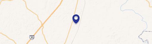
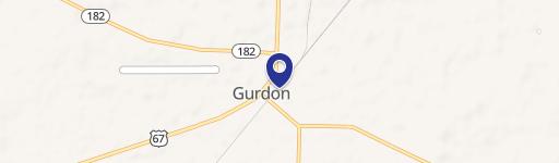
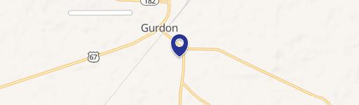
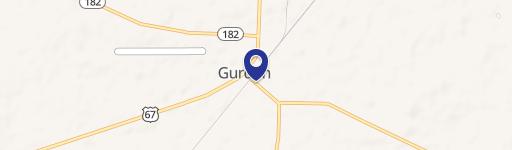
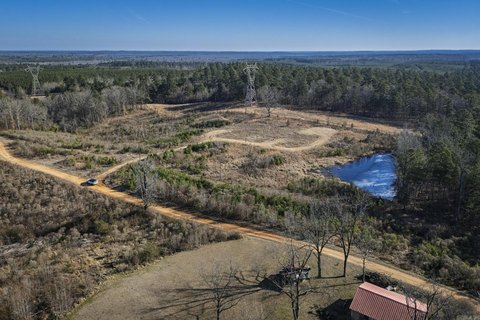
Hwy 67 Gurdon, AR 71743
Property profile & analytics
Hwy 67, Gurdon, AR 71743
- Warehouses
- 7,000 SF
- 0.50 lot acres
Property ID
US05-2280613
The Realmo ID is a unique identifier assigned to every property, incorporating country codes and precise geo-coordinates for 300x300-foot land blocks. It enables standardized data collection and seamless integration of disparate sources such as ownership, tax, title data and physical specifications. By aggregating current and historical records, the Realmo ID powers advanced analytics and delivers deep, verifiable insights for real estate professionals.
Location Intelligence
Current Use by Public Records
- Warehouses
Property Details for Hwy 67
- Lot size
- 0.50 lot acres
- Property type
- Warehouses
- Property subtype
- Self storage facilities
- APN
- 90-01420-000
- APU
- 9001420000
Sales History
| Date | Price | Buyer | Seller | Deed Type | Mortgage |
|---|---|---|---|---|---|
| Aug 24, 2022 | $250,000 | Hwy 67 Self Storage Of Gurdon LLC | Gw Rentals LLC | Warranty Deed | $200k · Gw Rentals LLC |
| Oct 2, 2013 | — | G W Reynolds LLC | J Gary Plyler SR. | Warranty Deed | — |
| Mar 18, 2013 | — | Gary J Plyler | Cdtp Investments LLC | Warranty Deed | — |
Value Estimations
based on Realmo’s proprietary methodology
-
AI approach
-
CAP approach
-
Comparable approach
-
Alternative Use
Get a detailed, property-specific estimation — fast and free
Location Insight
- Map
- Local Demand
- City
- Gurdon
- County
- Clark
- State
- Arkansas
- Longitude
- -93.1522
- Latitude
- 33.9255
- CBSA code
- 11660
- CBSA name
- ARKADELPHIA, AR MICROPOLITAN STATISTICAL AREA
Property Tax & Assessments
Tax date
Tax Amount
Assessed Land Value
Assessed Improvement Value
Total Assessed Value
Applied Tax Rate
Land Market Value
Improvement Market Value
Total Market Value
2023
$525
$1,500
$7,960
$9,460
-
$7,500
$39,800
$47,300