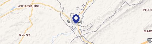
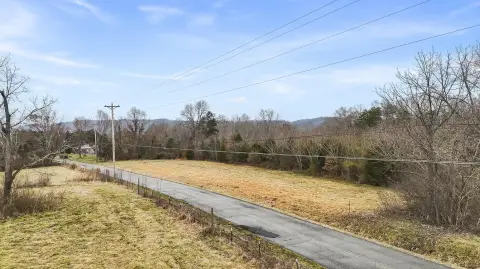
Hwy 66 Bulls Gap, TN 37711
Property profile & analytics
Hwy 66, Bulls Gap, TN 37711
- Manufacturing properties
- 85,572 SF
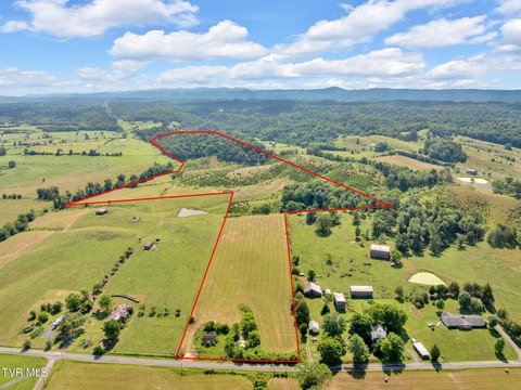
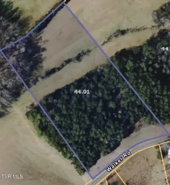
- 5.18 lot acres
Property ID
US80-2214767
The Realmo ID is a unique identifier assigned to every property, incorporating country codes and precise geo-coordinates for 300x300-foot land blocks. It enables standardized data collection and seamless integration of disparate sources such as ownership, tax, title data and physical specifications. By aggregating current and historical records, the Realmo ID powers advanced analytics and delivers deep, verifiable insights for real estate professionals.
Location Intelligence
Current Use by Public Records
- Manufacturing properties
Property Details for Hwy 66
- Year built
- 2006
- Construction
- MASONRY/CONCRETE MASONRY UNITS (CMUS)
- Lot size
- 5.18 lot acres
- Zone code
- M-1
- Property type
- Manufacturing properties
- APN
- 037158 12904
- APU
- 3715812904
Sales History
| Date | Price | Buyer | Seller | Deed Type | Mortgage |
|---|---|---|---|---|---|
| Feb 13, 2017 | — | Barrette Outdoor Living INC | Industrial Dev Board Of Hawkins C | Quit Claim Deed · related | — |
Value Estimations
based on Realmo’s proprietary methodology
-
Alternative Use
- Use
- Estimation
- INDUSTRIAL (GENERAL)
- $1,345,000 Current use
Get a detailed, property-specific estimation — fast and free
Location Insight
- Map
- Local Demand
- City
- Bulls Gap
- County
- Hawkins
- State
- Tennessee
- Longitude
- -83.0705
- Latitude
- 36.2746
- CBSA code
- 28700
- CBSA name
- KINGSPORT-BRISTOL-BRISTOL, TN-VA METROPOLITAN STATISTICAL AREA
Property Tax & Assessments
Tax date
Tax Amount
Assessed Land Value
Assessed Improvement Value
Total Assessed Value
Applied Tax Rate
Land Market Value
Improvement Market Value
Total Market Value
0
$0.00
$31,080
$1,180,680
$1,211,760
-
$77,700
$2,951,700
$3,029,400