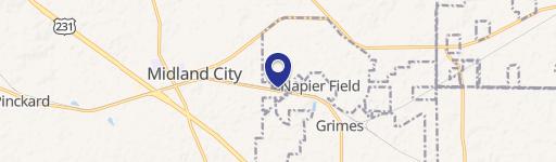
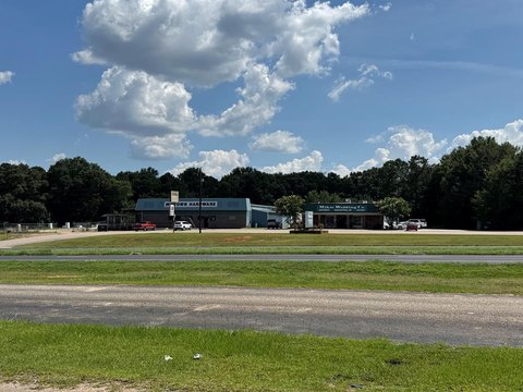
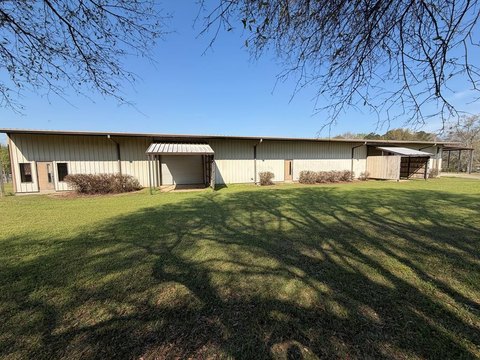
Hwy 59 Midland City, AL 36350
Property profile & analytics
Hwy 59, Midland City, AL 36350
- Banks
- 4,872 SF
Property ID
US03-1884730
The Realmo ID is a unique identifier assigned to every property, incorporating country codes and precise geo-coordinates for 300x300-foot land blocks. It enables standardized data collection and seamless integration of disparate sources such as ownership, tax, title data and physical specifications. By aggregating current and historical records, the Realmo ID powers advanced analytics and delivers deep, verifiable insights for real estate professionals.
Location Intelligence
Current Use by Public Records
- Banks
Property Details for Hwy 59
- Year built
- 1979
- Construction
- MASONRY/CONCRETE MASONRY UNITS (CMUS)
- Property type
- Banks
- APN
- 15-06-24-3-000-001.004
- APU
- 1506243000001004
Sales History
| Date | Price | Buyer | Seller | Deed Type | Mortgage |
|---|---|---|---|---|---|
| Nov 13, 2018 | $300,000 | Army Aviation Center Federal Cu | Wells Fargo Bank | Warranty Deed | — |
Value Estimations
based on Realmo’s proprietary methodology
-
AI approach
-
CAP approach
-
Comparable approach
-
Alternative Use
Get a detailed, property-specific estimation — fast and free
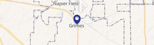
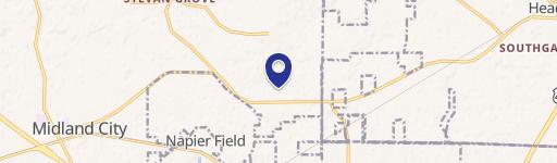
Location Insight
- Map
- Local Demand
- City
- Midland City
- County
- Dale
- State
- Alabama
- Longitude
- -85.4955
- Latitude
- 31.308
- CBSA code
- 37120
- CBSA name
- OZARK, AL MICROPOLITAN STATISTICAL AREA
Property Tax & Assessments
Tax date
Tax Amount
Assessed Land Value
Assessed Improvement Value
Total Assessed Value
Applied Tax Rate
Land Market Value
Improvement Market Value
Total Market Value
2023
$4,397
$22,000
$101,020
$123,020
-
$100,000
$515,100
$615,100