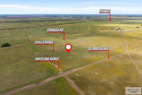
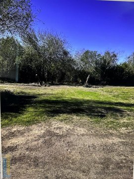
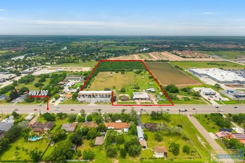
Hwy 100 Los Fresnos, TX 78566
Property profile & analytics
Hwy 100, Los Fresnos, TX 78566
- Commercial real estate
- 1,200 SF
- 0.57 lot acres
Property ID
US82-9073905
The Realmo ID is a unique identifier assigned to every property, incorporating country codes and precise geo-coordinates for 300x300-foot land blocks. It enables standardized data collection and seamless integration of disparate sources such as ownership, tax, title data and physical specifications. By aggregating current and historical records, the Realmo ID powers advanced analytics and delivers deep, verifiable insights for real estate professionals.
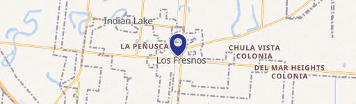
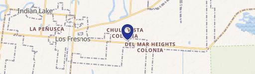
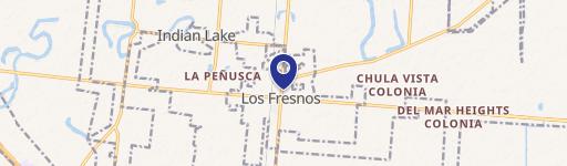
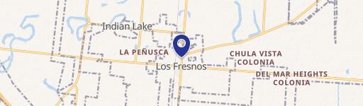
Location Intelligence
Current Use by Public Records
- Commercial real estate
Property Details for Hwy 100
- Year built
- 1980
- Lot size
- 0.57 lot acres
- Property type
- Commercial real estate
- APN
- 75-0234-0030-0050-00
- APU
- 7502340030005000
Sales History
| Date | Price | Buyer | Seller | Deed Type | Mortgage |
|---|---|---|---|---|---|
| Apr 21, 2022 | — | Garza Brothers Corporation | — | Deed · related | $120k · Rio Bank |
| Oct 15, 2021 | — | Garza Brothers Corporation | Ricardo Saucedo Garza | Venders Lien | $84k · Rio Bank |
| Apr 3, 2017 | — | Ricardo Saucedo Garza | — | Deed · related | — |
| Mar 29, 2005 | — | Jaime H Cavazos | Alberto Naranjo | Venders Lien | $45k · First National Bank |
Value Estimations
based on Realmo’s proprietary methodology
-
AI approach
-
CAP approach
-
Comparable approach
-
Alternative Use
Get a detailed, property-specific estimation — fast and free
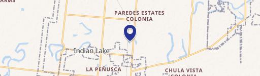
Location Insight
- Map
- Local Demand
- City
- Los Fresnos
- County
- Cameron
- State
- Texas
- Longitude
- -97.5183
- Latitude
- 26.0744
- CBSA code
- 15180
- CBSA name
- BROWNSVILLE-HARLINGEN, TX METROPOLITAN STATISTICAL AREA
Property Tax & Assessments
Tax date
Tax Amount
Assessed Land Value
Assessed Improvement Value
Total Assessed Value
Applied Tax Rate
Land Market Value
Improvement Market Value
Total Market Value
2023
$6,564
$137,500
$117,307
$254,807
-
$137,500
$117,307
$254,807