Gordonsville Hwy Gordonsville, TN 38563
Property profile & analytics
Gordonsville Hwy, Gordonsville, TN 38563
- Commercial land
- 2.07 lot acres
Property ID
US80-2281714
The Realmo ID is a unique identifier assigned to every property, incorporating country codes and precise geo-coordinates for 300x300-foot land blocks. It enables standardized data collection and seamless integration of disparate sources such as ownership, tax, title data and physical specifications. By aggregating current and historical records, the Realmo ID powers advanced analytics and delivers deep, verifiable insights for real estate professionals.
Location Intelligence
Current Use by Public Records
- Commercial land
Property Details for Gordonsville Hwy
- Lot size
- 2.07 lot acres
- Zone code
- C-2
- Property type
- Commercial land
- APN
- 080077 00105
- APU
- 8007700105
Sales History
| Date | Price | Buyer | Seller | Deed Type | Mortgage |
|---|---|---|---|---|---|
| Oct 13, 2021 | $380,000 | Owen Property Management LLC | Eatherijy Landholdings LLC | Warranty Deed | — |
| Nov 24, 2009 | — | Eatherly Landholdings LLC | — | Deed Of Trust · related | $2.5M · Citizens Federal Bank Fsb |
| Jun 9, 1995 | $90,000 | Richard Etal Rutherford | Hackett,c E | Grant Deed | — |
Value Estimations
based on Realmo’s proprietary methodology
-
AI approach
-
CAP approach
-
Comparable approach
-
Alternative Use
Get a detailed, property-specific estimation — fast and free
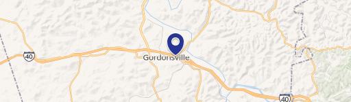
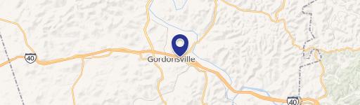
Location Insight
- Map
- Local Demand
- City
- Gordonsville
- County
- Smith
- State
- Tennessee
- Longitude
- -85.9505
- Latitude
- 36.1879
- CBSA code
- 34980
- CBSA name
- NASHVILLE-DAVIDSON--MURFREESBORO--FRANKLIN, TN METROPOLITAN STATISTICAL AREA
Property Tax & Assessments
Tax date
Tax Amount
Assessed Land Value
Assessed Improvement Value
Total Assessed Value
Applied Tax Rate
Land Market Value
Improvement Market Value
Total Market Value
0
$0.00
$153,200
$0.00
$153,200
-
$383,000
$0.00
$383,000