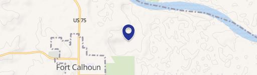
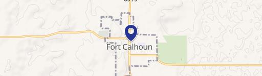
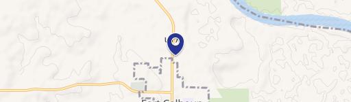
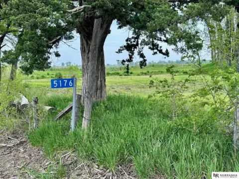
Fort Calhoun, NE 68023
Property profile & analytics
Fort, Calhoun, NE 68023
- Industrial land
- 0.77 lot acres
Property ID
US57-0338699
The Realmo ID is a unique identifier assigned to every property, incorporating country codes and precise geo-coordinates for 300x300-foot land blocks. It enables standardized data collection and seamless integration of disparate sources such as ownership, tax, title data and physical specifications. By aggregating current and historical records, the Realmo ID powers advanced analytics and delivers deep, verifiable insights for real estate professionals.
Location Intelligence
Current Use by Public Records
- Industrial land
Property Details for Fort
- Lot size
- 0.77 lot acres
- Zone code
- 04-INDUSTRIAL
- Property type
- Industrial land
- APN
- 890008442
- APU
- 890008442
Sales History
| Date | Price | Buyer | Seller | Deed Type | Mortgage |
|---|---|---|---|---|---|
| Oct 2, 2025 | — | Red Gate LLC | — | Deed · related | $3M · Northwest Bank |
| Nov 28, 2016 | — | Red Gate LLC | — | Deed · related | $3.2M · Ns-ftc Hw LLC |
| Jun 1, 2016 | $3,200,000 | Tc Accommodator 103 LLC | Ns-ftc Hw LLC | Grant Deed | $3.1M · Ns-ftc Hw LLC |
| — | — | D & W Fine Pack LLC | — | Deed Of Trust · related | $164.9M · Wells Fargo Bank |
| — | — | Red Gate LLC | — | Loan Modification · related | $3.2M · Ns-ftc Hw LLC |
Value Estimations
based on Realmo’s proprietary methodology
-
AI approach
-
CAP approach
-
Comparable approach
-
Alternative Use
Get a detailed, property-specific estimation — fast and free
Location Insight
- Map
- Local Demand
- City
- Calhoun
- County
- Washington
- State
- Nebraska
- Longitude
- -96.0234
- Latitude
- 41.4503
- CBSA code
- 36540
- CBSA name
- OMAHA-COUNCIL BLUFFS, NE-IA METROPOLITAN STATISTICAL AREA
Property Tax & Assessments
Tax date
Tax Amount
Assessed Land Value
Assessed Improvement Value
Total Assessed Value
Applied Tax Rate
Land Market Value
Improvement Market Value
Total Market Value
2023
$184
$8,385
$0.00
$8,385
-
$8,385
$0.00
$8,385