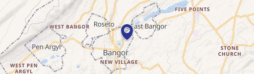
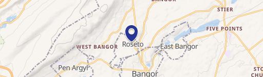
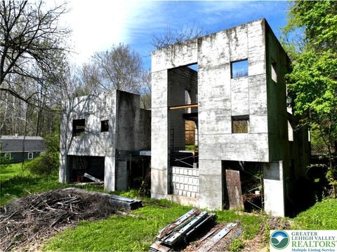
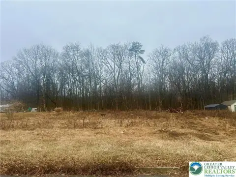
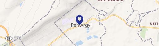
Delabole Rd Bangor, PA 18013
C. PRIVACY FENCE. A fence located in a residential zoning district or lot which is intended to block from view portions of a lot for outdoor living areas. D. PROTECTIVE FENCE. A fence for the enclosure of nonresidential properties and uses, for preventing entry into a commercial swimming pool, for providing a safety barrier from dangerous commercial or manuf…
Cap rate
Implied · in-place · derived from last sale + estimated NOIValue
AI, CAP & Alternative Use estimations · Realmo proprietary blendProperty tax & assessments
Tax year 2024Comparables
6 recent transactions · within 1.5 miComparable in this City
Similar Nearby for Sale


Similar Nearby for Lease

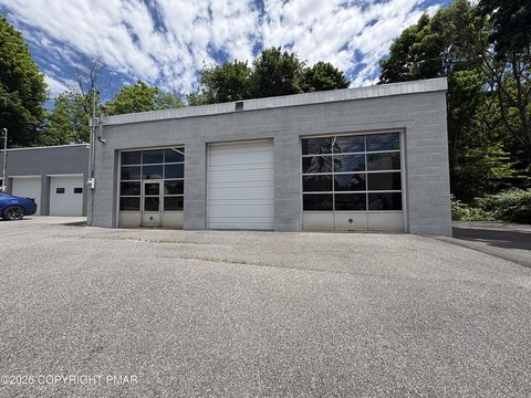

Property description
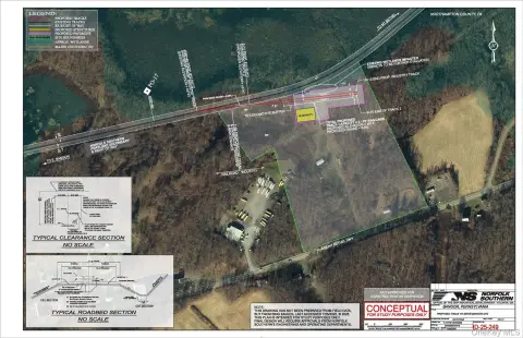
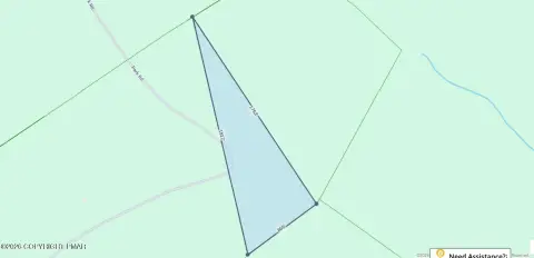
Physical attributes from public recordsZoning & alternative use
A · Bangor, PAC. PRIVACY FENCE. A fence located in a residential zoning district or lot which is intended to block from view portions of a lot for outdoor living areas. D. PROTECTIVE FENCE. A fence for the enclosure of nonresidential properties and uses, for preventing entry into a commercial swimming pool, for providing a safety barrier from dangerous commercial or manufacturing activities, for security from theft or vandalism or for enclosing an attractive nuisance. E. RESIDENTIAL SWIMMING POOL FENCE. A fence which encloses a residential swimming pool in accordance with this Ordinance. F. TEMPORARY FENCE. A fence for the enclosure of construction activities or abandoned or condemned properties. G. WALL. A fence that is constructed of masonry or stone. 13 H. LIVING FENCE. A barrier or enclosure which is made or comprised of living biologic material, such as hedges, shrubs or bushes or any similar vegetation or growth which is sufficiently dense to prohibit or restrict the passage of light. FESTOON LIGHTING. A type of illumination comprised of either: (a) a group of incandescent light bulbs hung or strung overhead or on a building or other structure(s), or (b) light bulbs not shaded or hooded or otherwise screened to prevent direct rays of light from shining on adjacent properties or rights-of- way. FLAG. Any sign printed or painted on cloth, plastic, canvas, or other like material with distinctive colors, patterns or symbolic devices attached to a pole or staff and anchored along only one edge or supported or anchored at only two corners. FLOOR AREA. The sum of the gross horizontal areas of each floor of a building, measured from the exterior walls or from the center line of party walls. The term does not include any area used exclusively for the parking of motor vehicles (surface or structured parking). FLOOR AREA RATIO. The ratio of gross building floor area of all structures on a lot to the total land area of the lot on which it sits. FAR is used to regulate building volume (see illustration below). For example, if a ten-thousand- square-foot lot has a FAR of 2.0, then a developer can only construct a building that has a total floor area of 20,000 square feet. FOOTPRINT. That portion of a lot covered by a building at the ground level, measured on a horizontal plane. This includes porches, decks and balconies, but not trellises and patios. FORM OF MEDICAL MARIJUANA.
No recorded transactions found for this property.
Costs & Benchmarks
Operating expenses, capex projections, utility benchmarks, and submarket comparables — all in one view.
Risks
Flood, climate, environmental, title, and tenant-concentration risk — surfaced with mitigations and source citations.


