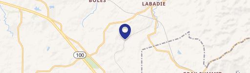
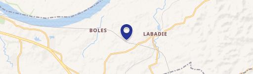
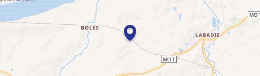
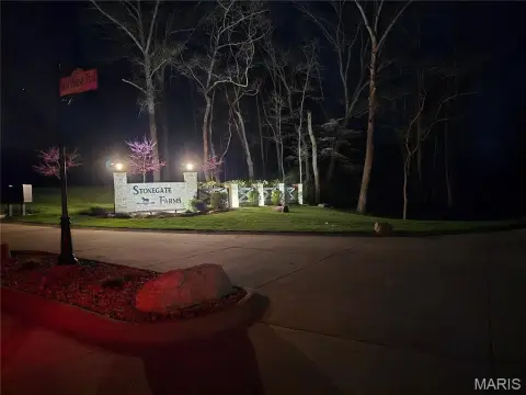
Davis Rd Labadie, MO 63055
Property profile & analytics
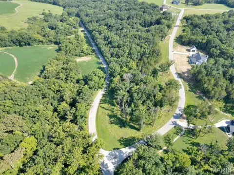
Davis Rd, Labadie, MO 63055
- Commercial land
- 2.00 lot acres
Property ID
US48-1304827
The Realmo ID is a unique identifier assigned to every property, incorporating country codes and precise geo-coordinates for 300x300-foot land blocks. It enables standardized data collection and seamless integration of disparate sources such as ownership, tax, title data and physical specifications. By aggregating current and historical records, the Realmo ID powers advanced analytics and delivers deep, verifiable insights for real estate professionals.
Location Intelligence
Current Use by Public Records
- Commercial land
Property Details for Davis Rd
- Lot size
- 2.00 lot acres
- Zone code
- ANU
- Property type
- Commercial land
- APN
- 08-5-16.0-0-001-005.000
- APU
- 851600001005000
Sales History
| Date | Price | Buyer | Seller | Deed Type | Mortgage |
|---|---|---|---|---|---|
| May 11, 2016 | — | Brunjes Family Farms LLC | Newman Ralph M Trust | Warranty Deed | $70k · First St Cmnty Bk |
| Feb 27, 2009 | — | Amerenue | Newman,marvin J & Judy | Warranty Deed · related | — |
| Nov 24, 2008 | — | Marvin J Newman | Newman Ralph M Trust | Quit Claim Deed · related | — |
Value Estimations
based on Realmo’s proprietary methodology
-
AI approach
-
CAP approach
-
Comparable approach
-
Alternative Use
Get a detailed, property-specific estimation — fast and free
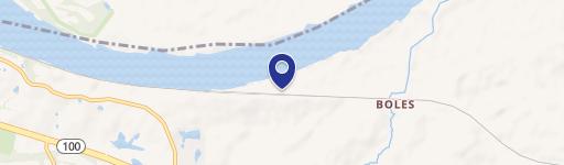
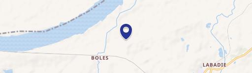
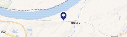
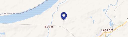
Location Insight
- Map
- Local Demand
- City
- Labadie
- County
- Franklin
- State
- Missouri
- Longitude
- -90.8095
- Latitude
- 38.5538
- CBSA code
- 41180
- CBSA name
- ST. LOUIS, MO-IL METROPOLITAN STATISTICAL AREA
Property Tax & Assessments
Tax date
Tax Amount
Assessed Land Value
Assessed Improvement Value
Total Assessed Value
Applied Tax Rate
Land Market Value
Improvement Market Value
Total Market Value
2022
$0.00
$0.00
$0.00
$155
-
$1,290
$0.00
$1,290