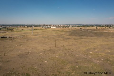
College Dr Cheyenne, WY 82007
Property profile & analytics
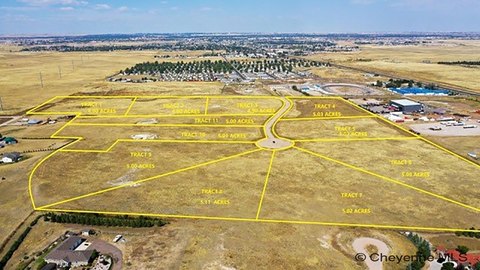
College Dr, Cheyenne, WY 82007
- Commercial land
- 1.88 lot acres
Property ID
US95-0108879
The Realmo ID is a unique identifier assigned to every property, incorporating country codes and precise geo-coordinates for 300x300-foot land blocks. It enables standardized data collection and seamless integration of disparate sources such as ownership, tax, title data and physical specifications. By aggregating current and historical records, the Realmo ID powers advanced analytics and delivers deep, verifiable insights for real estate professionals.
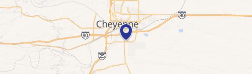
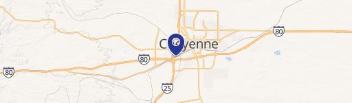
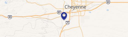
Location Intelligence
Current Use by Public Records
- Commercial land
Property Details for College Dr
- Lot size
- 1.88 lot acres
- Zone code
- CB
- Property type
- Commercial land
- APN
- 14285000100030
- APU
- 14285000100030
Sales History
| Date | Price | Buyer | Seller | Deed Type | Mortgage |
|---|---|---|---|---|---|
| Apr 14, 2025 | — | Cae Investments LLC | Tru Grit Land Development LLC | Deed · related | $5.3M · Riverstone Bank |
| Apr 11, 2025 | — | Jei Construction LLC | Tru Grit Land Development LLC | Warranty Deed | — |
| May 21, 2019 | — | Tru-grit Land Dev LLC | Community Action Of Laramie Cn | Warranty Deed | — |
| — | — | Community Action Of Laramie Cnty | — | Loan Modification · related | $156k · Meridian Trust FCU |
Value Estimations
based on Realmo’s proprietary methodology
-
AI approach
-
CAP approach
-
Comparable approach
-
Alternative Use
Get a detailed, property-specific estimation — fast and free
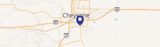
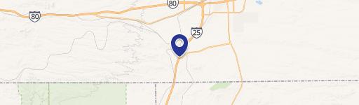
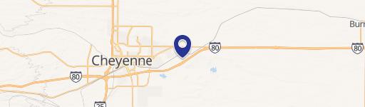
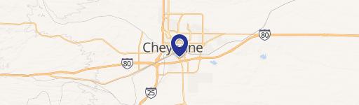
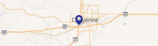
Location Insight
- Map
- Local Demand
- City
- Cheyenne
- County
- Laramie
- State
- Wyoming
- Longitude
- -104.814
- Latitude
- 41.1029
- CBSA code
- 16940
- CBSA name
- CHEYENNE, WY METROPOLITAN STATISTICAL AREA
Property Tax & Assessments
Tax date
Tax Amount
Assessed Land Value
Assessed Improvement Value
Total Assessed Value
Applied Tax Rate
Land Market Value
Improvement Market Value
Total Market Value
2023
$1,177
$16,015
$0.00
$16,015
-
$168,574
$0.00
$168,574