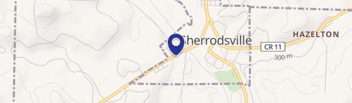
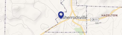
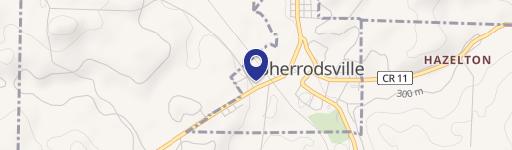
Burrow Rd Sherrodsville, OH 44675
Property profile & analytics
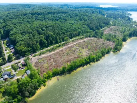
Burrow Rd, Sherrodsville, OH 44675
- Commercial real estate
- 3,000 SF
- 12.93 lot acres
Property ID
US66-2488227
The Realmo ID is a unique identifier assigned to every property, incorporating country codes and precise geo-coordinates for 300x300-foot land blocks. It enables standardized data collection and seamless integration of disparate sources such as ownership, tax, title data and physical specifications. By aggregating current and historical records, the Realmo ID powers advanced analytics and delivers deep, verifiable insights for real estate professionals.
Location Intelligence
Current Use by Public Records
- Commercial real estate
Property Details for Burrow Rd
- Year built
- 1992
- Construction
- FRAME
- Lot size
- 12.93 lot acres
- Property type
- Commercial real estate
- APN
- 22-0001628.000
- APU
- 220001628000
Sales History
| Date | Price | Buyer | Seller | Deed Type | Mortgage |
|---|---|---|---|---|---|
| Jun 30, 2023 | $271,000 | The Tabor Lake Company | Burrowrd66 LLC | Warranty Deed | — |
| May 25, 2022 | $302,500 | Burrowrd66 LLC | Chunk LLC | Warranty Deed | — |
| Dec 12, 2019 | — | Chunk LLC | Molybdenum Properties LLC | Warranty Deed | $158k · The Farmers National Bank Of Canfie |
| May 30, 2013 | $155,000 | Molybdenum Properties LLC | El Trac Holding LLC | Deed | $160k · Thomas Bernabei |
| Apr 9, 2012 | $89,900 | El Trac Holding LLC | Lucinda S Norris | Quit Claim Deed · related | — |
| Apr 9, 2012 | — | Harold G Norris JR | Lucinda S Norris | Intrafamily Transfer · related | — |
Value Estimations
based on Realmo’s proprietary methodology
-
AI approach
-
CAP approach
-
Comparable approach
-
Alternative Use
Get a detailed, property-specific estimation — fast and free
Location Insight
- Map
- Local Demand
- City
- Sherrodsville
- County
- Carroll
- State
- Ohio
- Longitude
- -81.1531
- Latitude
- 40.5541
- CBSA code
- 15940
- CBSA name
- CANTON-MASSILLON, OH METROPOLITAN STATISTICAL AREA
Property Tax & Assessments
Tax date
Tax Amount
Assessed Land Value
Assessed Improvement Value
Total Assessed Value
Applied Tax Rate
Land Market Value
Improvement Market Value
Total Market Value
2023
$625
$15,790
$35,240
$51,030
-
$45,100
$100,680
$145,780