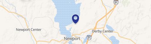
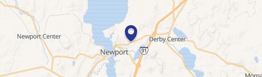
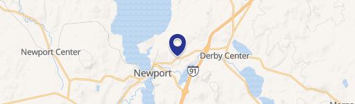
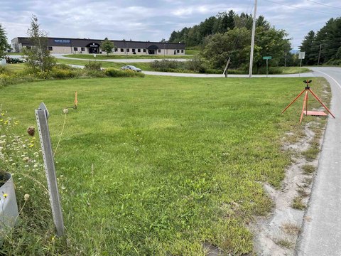
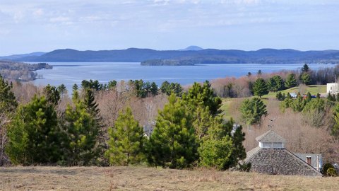
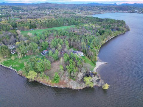
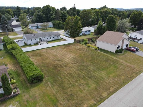
Blf Rd Newport, VT 05855
Property profile & analytics
Blf Rd, Newport, VT 05855
- Industrial land
- 1.62 lot acres
Property ID
US89-0288574
The Realmo ID is a unique identifier assigned to every property, incorporating country codes and precise geo-coordinates for 300x300-foot land blocks. It enables standardized data collection and seamless integration of disparate sources such as ownership, tax, title data and physical specifications. By aggregating current and historical records, the Realmo ID powers advanced analytics and delivers deep, verifiable insights for real estate professionals.
Location Intelligence
Current Use by Public Records
- Industrial land
Property Details for Blf Rd
- Lot size
- 1.62 lot acres
- Zone code
- IND
- Property type
- Industrial land
- APN
- (136) 106006
- APU
- 136106006
Sales History
| Date | Price | Buyer | Seller | Deed Type | Mortgage |
|---|---|---|---|---|---|
| Dec 16, 2020 | $50,000 | Laramie Water Resources LLC | Owner Name Unavailable | Grant Deed · related | — |
| Jul 15, 2013 | — | Spates Family LLC | Spates,douglas B & Vivian M | Quit Claim Deed · related | — |
| Jun 14, 2013 | — | Wood,nathalie Tr | Gestion Gosselin Bourgon | Grant Deed · related | — |
| May 1, 2012 | $1 | Wood 2012 T Nathalie | Wood,nathalie H | Grant Deed · related | — |
Value Estimations
based on Realmo’s proprietary methodology
-
AI approach
-
CAP approach
-
Comparable approach
-
Alternative Use
Get a detailed, property-specific estimation — fast and free
Location Insight
- Map
- Local Demand
- City
- Newport
- County
- Orleans
- State
- Vermont
- Longitude
- -72.201
- Latitude
- 44.9523
Property Tax & Assessments
Tax date
Tax Amount
Assessed Land Value
Assessed Improvement Value
Total Assessed Value
Applied Tax Rate
Land Market Value
Improvement Market Value
Total Market Value
2022
$1,468
$47,600
$1,600
$49,200
-
$0.00
$0.00
$0.00