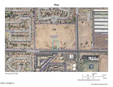
Avondale, AZ 85392
designee shall serve as guidelines for site and architectural design in all districts. 28-77-28-90 - Reserved. Article 6 - PLANNED AREA DEVELOPMENT DISTRICT 28-111 - Purpose. The purpose of the Planned Area Development (PAD) District is to promote the development of mixed-use developments and/or residential subdivisions that include residential, commercial o…
Cap rate
Implied · in-place · derived from last sale + estimated NOIValue
AI, CAP & Alternative Use estimations · Realmo proprietary blendProperty tax & assessments
Tax year 2023Comparables
6 recent transactions · within 1.5 miComparable in this City


Similar Nearby for Sale


Similar Nearby for Lease


Property description
Physical attributes from public recordsZoning & alternative use
PAD · Avondale, AZdesignee shall serve as guidelines for site and architectural design in all districts. 28-77-28-90 - Reserved. Article 6 - PLANNED AREA DEVELOPMENT DISTRICT 28-111 - Purpose. The purpose of the Planned Area Development (PAD) District is to promote the development of mixed-use developments and/or residential subdivisions that include residential, commercial or business park development according to an overall plan. It is the intent of the P
Costs & Benchmarks
Operating expenses, capex projections, utility benchmarks, and submarket comparables — all in one view.
Risks
Flood, climate, environmental, title, and tenant-concentration risk — surfaced with mitigations and source citations.


