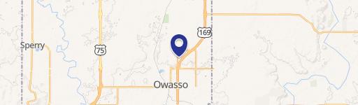
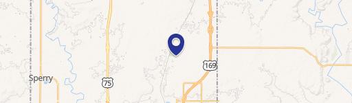
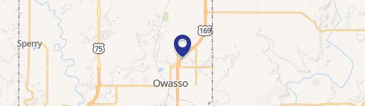
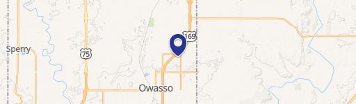
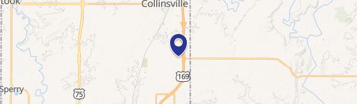
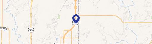
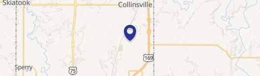
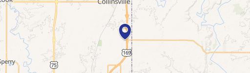
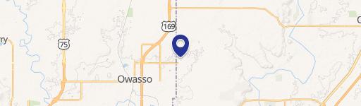
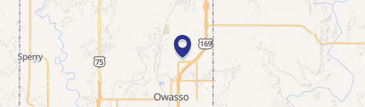
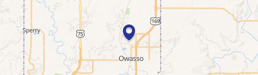
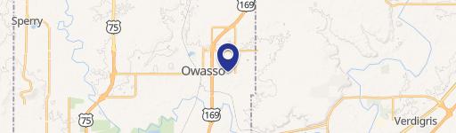
9721 Garnett Rd Owasso, OK 74055-4380
Property profile & analytics
9721 Garnett Rd Owasso, OK 74055-4380
- Commercial land
- 1,528 SF
- 2.31 lot acres
Property ID
US69-0235989
The Realmo ID is a unique identifier assigned to every property, incorporating country codes and precise geo-coordinates for 300x300-foot land blocks. It enables standardized data collection and seamless integration of disparate sources such as ownership, tax, title data and physical specifications. By aggregating current and historical records, the Realmo ID powers advanced analytics and delivers deep, verifiable insights for real estate professionals.
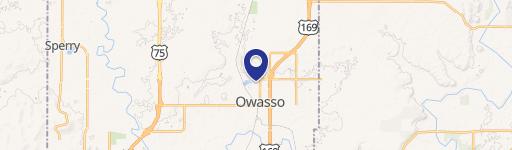
Location Intelligence
Current Use by Public Records
- Commercial land
Property Details for 9721 Garnett Rd
- Year built
- 1962
- Lot size
- 2.31 lot acres
- Property size
- 1,528 SF
- Zone code
- AG
- Property type
- Commercial land
- APN
- 91417-14-17-47410
- APU
- 91417141747410
Description
This exceptional 2.3-acre commercial lot, located at 9721 N Garnett Rd in Owasso, Oklahoma (zip code 74055), presents a remarkable investment opportunity. Zoned for Commercial Shopping (CS), this property boasts significant frontage of approximately 165.35 feet on N Garnett Rd and a depth of approximately 612 feet. The high-traffic location sees an estimated 18,014 cars per day, providing excellent visibility and accessibility for any commercial venture. The land is priced at $205,628 per acre, totaling $475,000. The property includes a newly installed curb cut and driveway, enhancing convenience and functionality. Detailed plat maps are available. This prime location in Tulsa County offers substantial potential for a variety of commercial developments, capitalizing on the high daily traffic count and favorable zoning regulations. The property's size and strategic positioning make it an ideal choice for businesses seeking a prominent presence in a thriving Owasso community.
Value Estimations
based on Realmo’s proprietary methodology
-
AI approach
-
CAP approach
-
Comparable approach
-
Alternative Use
Get a detailed, property-specific estimation — fast and free
Location Insight
- Map
- Local Demand
- City
- Owasso
- County
- Tulsa
- State
- Oklahoma
- Longitude
- -95.8469
- Latitude
- 36.2955
- CBSA code
- 46140
- CBSA name
- TULSA, OK METROPOLITAN STATISTICAL AREA
Property Tax & Assessments
Tax date
Tax Amount
Assessed Land Value
Assessed Improvement Value
Total Assessed Value
Applied Tax Rate
Land Market Value
Improvement Market Value
Total Market Value
2023
$5,745
$52,580
$0.00
$52,580
-
$478,000
$0.00
$478,000