95th Tpke Rd Westborough, MA 01581-2878
Property profile & analytics
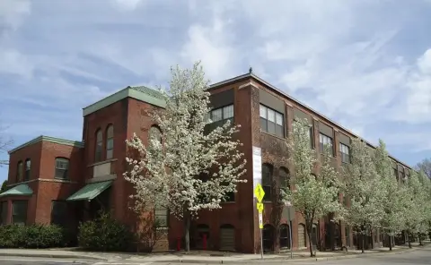
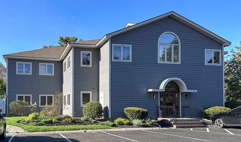
95th Tpke Rd, Westborough, MA 01581-2878
- Office buildings
- 12,152 SF
- 2.49 lot acres
Property ID
US38-0514262
The Realmo ID is a unique identifier assigned to every property, incorporating country codes and precise geo-coordinates for 300x300-foot land blocks. It enables standardized data collection and seamless integration of disparate sources such as ownership, tax, title data and physical specifications. By aggregating current and historical records, the Realmo ID powers advanced analytics and delivers deep, verifiable insights for real estate professionals.
Location Intelligence
Current Use by Public Records
- Office buildings
Property Details for 95th Tpke Rd
- Year built
- 1984
- Construction
- FRAME
- Lot size
- 2.49 lot acres
- Zone code
- BA
- Property type
- Office buildings
- APN
- WBOR M:0034 B:000176 L:0
- APU
- WBORM0034B000176L0
Sales History
| Date | Price | Buyer | Seller | Deed Type | Mortgage |
|---|---|---|---|---|---|
| Jul 28, 2011 | — | Stowe Invest | — | Deed Of Trust · related | $1.5M · Spencer Savings Bank Sla |
| Feb 26, 2008 | $2,000,000 | Stowe & Degon Investme | Ninewest RT | Deed | $1.6M · Flagship Bk Tr Co |
| Mar 26, 1992 | — | Ninewest RT | — | Deed Of Trust · related | $1.7M · Shawmut Bank Of Boston |
| Oct 4, 1989 | — | Ninewest RT | — | Deed Of Trust · related | $43k · Zmc Trust Et Al 2nd |
Value Estimations
based on Realmo’s proprietary methodology
-
Comparable approach
- Method
- Estimation
- Statistic Estimate
- $1,973,000
- AI Estimate
- $1,123,000
Market price range: $900k - $2.56MMarket price range: $246k - $1.53M -
Alternative Use
- Use
- Estimation
- OFFICE BUILDING
- $1,650,000 Current use
- RESTAURANT
- $2,290,000 Change: +39% Conversion: Moderate
- RETAIL STORES
- $1,905,000 Change: +15% Conversion: Moderate
- AUTO REPAIR, GARAGE
- $1,865,000 Change: +13% Conversion: Difficult
- NEIGHBORHOOD: SHOPPING CENTER
- $1,535,000 Change: -7% Conversion: Difficult
- APARTMENT HOUSE (5+ UNITS)
- $1,460,000 Change: -12% Conversion: Easy
- COMMERCIAL (GENERAL)
- $1,335,000 Change: -19% Conversion: Easy
Get a detailed, property-specific estimation — fast and free
Location Insight
- Map
- Local Demand
- City
- Westborough
- County
- Worcester
- State
- Massachusetts
- Longitude
- -71.5981
- Latitude
- 42.2868
- CBSA code
- 49340
- CBSA name
- WORCESTER, MA-CT METROPOLITAN STATISTICAL AREA
Property Tax & Assessments
Tax date
Tax Amount
Assessed Land Value
Assessed Improvement Value
Total Assessed Value
Applied Tax Rate
Land Market Value
Improvement Market Value
Total Market Value
2024
$25,276
$696,300
$844,000
$1,540,300
-
$0.00
$0.00
$0.00