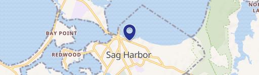
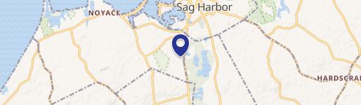
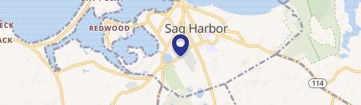
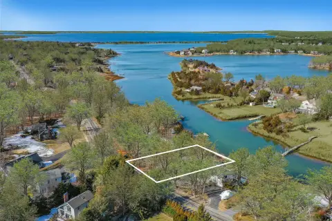
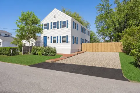
92 Clay Pit Rd Sag Harbor, NY 11963-3707
Property profile & analytics
92 Clay Pit Rd, Sag Harbor, NY 11963-3707
- Truck terminals
- 1,192 SF
- 1.77 lot acres
Property ID
US63-2358550
The Realmo ID is a unique identifier assigned to every property, incorporating country codes and precise geo-coordinates for 300x300-foot land blocks. It enables standardized data collection and seamless integration of disparate sources such as ownership, tax, title data and physical specifications. By aggregating current and historical records, the Realmo ID powers advanced analytics and delivers deep, verifiable insights for real estate professionals.
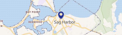
Location Intelligence
Current Use by Public Records
- Suburban Sanitation Inc / Waste Management Facility / Hazardous Waste Disposal
Property Details for 92 Clay Pit Rd
- Year built
- 1970
- Lot size
- 1.77 lot acres
- Zone code
- CR200
- Property type
- Truck terminals
- APN
- 0900-025.00-01.00-025.000
- APU
- 900025000100025000
Sales History
| Date | Price | Buyer | Seller | Deed Type | Mortgage |
|---|---|---|---|---|---|
| May 10, 2021 | $990,000 | 92 Clay Pit Rd LLC | Ralph J Ficorelli | Deed | — |
| Jan 22, 2020 | — | Castellano Genna | Ralph J Ficorelli JR. | Quit Claim Deed · related | — |
Value Estimations
based on Realmo’s proprietary methodology
-
AI approach
- Method
- Estimation
- Statistic approach
- $1,015,000
- ML approach
- $1,000,000
Get a detailed, property-specific estimation — fast and free
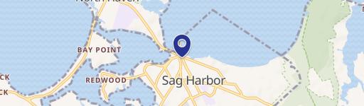
Location Insight
- Map
- Local Demand
- City
- Sag Harbor
- County
- Suffolk
- State
- New York
- Longitude
- -72.3035
- Latitude
- 40.9785
- CBSA code
- 35620
- CBSA name
- NEW YORK-NORTHERN NEW JERSEY-LONG ISLAND, NY-NJ-PA METROPOLITAN STATISTICAL AREA
Property Tax & Assessments
Tax date
Tax Amount
Assessed Land Value
Assessed Improvement Value
Total Assessed Value
Applied Tax Rate
Land Market Value
Improvement Market Value
Total Market Value
2020
$3,599
$774,900
$165,200
$940,100
-
$1,114,964
$237,698
$1,352,662