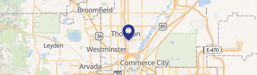
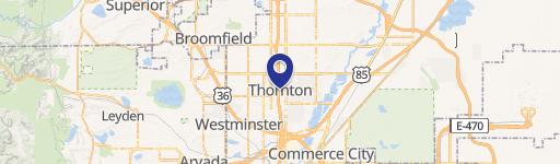
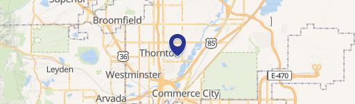
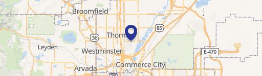
9151 Pearl St Thornton, CO 80229-4328
Property profile & analytics
9151 Pearl St, Thornton, CO 80229-4328
- Commercial land
- 108,769 SF
- 2.50 lot acres
Property ID
US13-1532073
The Realmo ID is a unique identifier assigned to every property, incorporating country codes and precise geo-coordinates for 300x300-foot land blocks. It enables standardized data collection and seamless integration of disparate sources such as ownership, tax, title data and physical specifications. By aggregating current and historical records, the Realmo ID powers advanced analytics and delivers deep, verifiable insights for real estate professionals.
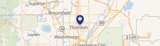
Location Intelligence
Current Use by Public Records
- Commercial land
Property Details for 9151 Pearl St
- Lot size
- 2.50 lot acres
- Property type
- Commercial land
- APN
- R0119552
- APU
- R0119552
Sales History
| Date | Price | Buyer | Seller | Deed Type | Mortgage |
|---|---|---|---|---|---|
| Dec 29, 2020 | $750,000 | Mallreddy S Reddy | Patricia F Lipolo Fmtr | Special Warranty Deed | $349k · North Valley Bank |
| Oct 15, 2010 | — | Leipold Patricia F Family Trust | Patricia F Leipold & Co | Quit Claim Deed · related | — |
Value Estimations
based on Realmo’s proprietary methodology
-
AI approach
- Method
- Estimation
- Statistic approach
- $875,000
Get a detailed, property-specific estimation — fast and free
Location Insight
- Map
- Local Demand
- City
- Thornton
- County
- Adams
- State
- Colorado
- Longitude
- -104.98
- Latitude
- 39.8625
- CBSA code
- 19740
- CBSA name
- DENVER-AURORA, CO METROPOLITAN STATISTICAL AREA
Property Tax & Assessments
Tax date
Tax Amount
Assessed Land Value
Assessed Improvement Value
Total Assessed Value
Applied Tax Rate
Land Market Value
Improvement Market Value
Total Market Value
2023
$25,075
$227,600
$0.00
$227,600
-
$815,770
$0.00
$815,770