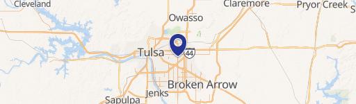
8600 E 21St St Tulsa, OK 74129
Property profile & analytics
8600 E 21St St Tulsa, OK 74129
- Commercial land
- 4.23 lot acres

Property ID
US69-0494334
The Realmo ID is a unique identifier assigned to every property, incorporating country codes and precise geo-coordinates for 300x300-foot land blocks. It enables standardized data collection and seamless integration of disparate sources such as ownership, tax, title data and physical specifications. By aggregating current and historical records, the Realmo ID powers advanced analytics and delivers deep, verifiable insights for real estate professionals.
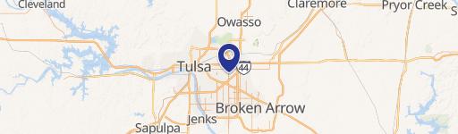
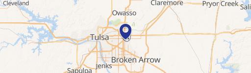
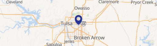
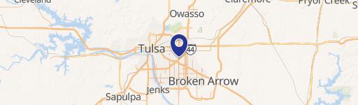
Location Intelligence
Current Use by Public Records
- Commercial land
Property Details for 8600 E 21St St
- Lot size
- 4.23 lot acres
- Zone code
- OL
- Property type
- Commercial land
- APN
- 99313-93-13-20990
- APU
- 99313931320990
Description
This exceptional 4.23-acre commercial land parcel is strategically located at 8600 E. 21st Street S. in Tulsa, Oklahoma, zip code 74129. Currently zoned OL, this property offers significant development potential. Its size allows for the possibility of parcel division, catering to various project scales. The location boasts excellent visibility and accessibility, situated east of E. 21st Street and S. Memorial. The advantageous pricing makes this land particularly attractive for projects such as senior living facilities or apartment complexes. Proximity to established restaurants and retailers presents further opportunities. With appropriate rezoning, the site could also accommodate retail pads or commercial buildings. This property represents a compelling investment opportunity in a thriving Tulsa location. The coordinates are 36.132884 latitude and -95.880992 longitude, within Tulsa County. Serious inquiries are encouraged to explore the full potential of this remarkable land parcel.
Value Estimations
based on Realmo’s proprietary methodology
-
AI approach
-
CAP approach
-
Comparable approach
-
Alternative Use
Get a detailed, property-specific estimation — fast and free
Location Insight
- Map
- Local Demand
- City
- Tulsa
- County
- Tulsa
- State
- Oklahoma
- Longitude
- -95.881
- Latitude
- 36.1329
- CBSA code
- 46140
- CBSA name
- TULSA, OK METROPOLITAN STATISTICAL AREA
Property Tax & Assessments
Tax date
Tax Amount
Assessed Land Value
Assessed Improvement Value
Total Assessed Value
Applied Tax Rate
Land Market Value
Improvement Market Value
Total Market Value
2023
$7,018
$52,272
$0.00
$52,272
-
$480,000
$0.00
$480,000