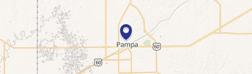
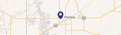
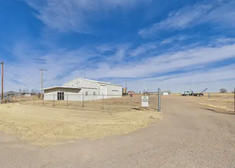
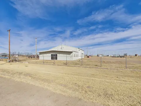
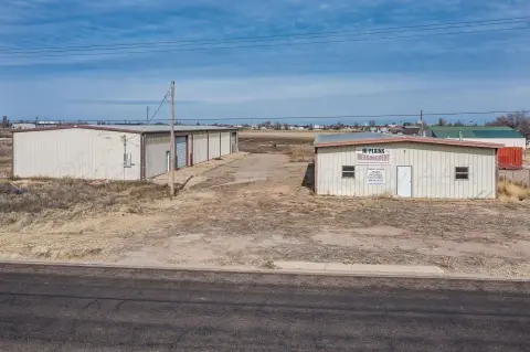
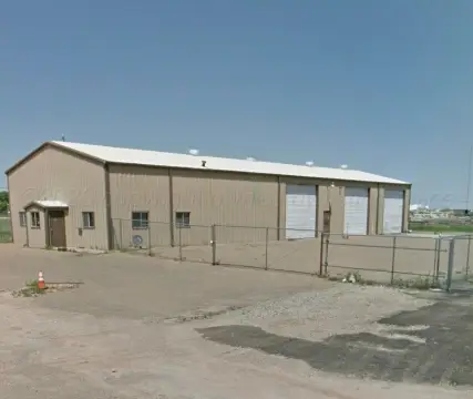
8201 Fm 2300 Pampa, TX 79065-6927
Property profile & analytics
8201 Fm 2300 Pampa, TX 79065-6927
- Industrial properties
- 49,805 SF
- 92.02 lot acres
Property ID
US83-0796764
The Realmo ID is a unique identifier assigned to every property, incorporating country codes and precise geo-coordinates for 300x300-foot land blocks. It enables standardized data collection and seamless integration of disparate sources such as ownership, tax, title data and physical specifications. By aggregating current and historical records, the Realmo ID powers advanced analytics and delivers deep, verifiable insights for real estate professionals.
Location Intelligence
Current Use by Public Records
- Pampa Energy Center / Government
- Pampa fossil Fuels / Chemical Plant / Factory
Property Details for 8201 Fm 2300
- Year built
- 1950
- Lot size
- 92.02 lot acres
- Property size
- 49,805 SF
- Property type
- Industrial properties
- APN
- 9223372036854775807
- APU
- 9223372036854775807
Value Estimations
based on Realmo’s proprietary methodology
-
Alternative Use
- Use
- Estimation
- INDUSTRIAL (GENERAL)
- $2,190,000 Current use
- COMMERCIAL (GENERAL)
- $2,795,000 Change: +28% Conversion: Difficult
Get a detailed, property-specific estimation — fast and free
Location Insight
- Map
- Local Demand
- City
- Pampa
- County
- Gray
- State
- Texas
- Longitude
- -101.052
- Latitude
- 35.4813
- CBSA code
- 37420
- CBSA name
- PAMPA, TX MICROPOLITAN STATISTICAL AREA
Property Tax & Assessments
Tax date
Tax Amount
Assessed Land Value
Assessed Improvement Value
Total Assessed Value
Applied Tax Rate
Land Market Value
Improvement Market Value
Total Market Value
2022
$15,836
$46,010
$781,580
$827,590
-
$46,010
$781,580
$827,590