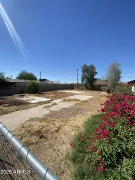
809 Dysart Rd, Unit Y Avondale, AZ 85323-1701
Property profile & analytics
809 Dysart Rd, Unit Y, Avondale, AZ 85323-1701
- Warehouses
- 1,200 SF
- 0.98 lot acres
Property ID
US07-2473068
The Realmo ID is a unique identifier assigned to every property, incorporating country codes and precise geo-coordinates for 300x300-foot land blocks. It enables standardized data collection and seamless integration of disparate sources such as ownership, tax, title data and physical specifications. By aggregating current and historical records, the Realmo ID powers advanced analytics and delivers deep, verifiable insights for real estate professionals.
Location Intelligence
Current Use by Public Records
- Cougar Mortgage Inc. / Loan Service / Bank
Property Details for 809 Dysart Rd
- Year built
- 1978
- Construction
- CONCRETE
- Lot size
- 0.98 lot acres
- Zone code
- C-2
- Property type
- Warehouses
- APN
- 500-22-008G
- APU
- 50022008G
Sales History
| Date | Price | Buyer | Seller | Deed Type | Mortgage |
|---|---|---|---|---|---|
| Mar 22, 2023 | $1,100,000 | M&k Property West LLC | Corporate Estates LLC | Special Warranty Deed | $550k · Western Alliance Bank |
| Mar 22, 2023 | — | M&k Property West LLC | — | Deed · related | $453k · Cdc Small Business Finance Corp |
Value Estimations
based on Realmo’s proprietary methodology
-
AI approach
-
CAP approach
-
Comparable approach
-
Alternative Use
Get a detailed, property-specific estimation — fast and free
Location Insight
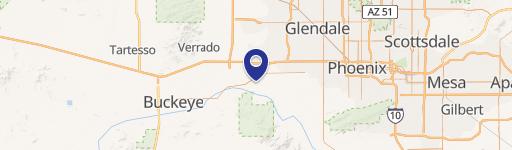
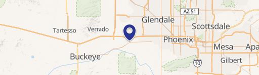
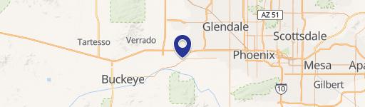
- Map
- Local Demand
- City
- Avondale
- County
- Maricopa
- State
- Arizona
- Longitude
- -112.341
- Latitude
- 33.4416
- CBSA code
- 38060
- CBSA name
- PHOENIX-MESA-SCOTTSDALE, AZ METROPOLITAN STATISTICAL AREA
Property Tax & Assessments
Tax date
Tax Amount
Assessed Land Value
Assessed Improvement Value
Total Assessed Value
Applied Tax Rate
Land Market Value
Improvement Market Value
Total Market Value
2022
$6,570
$0.00
$0.00
$118,019
-
$387,000
$350,079
$737,079