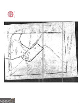
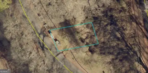
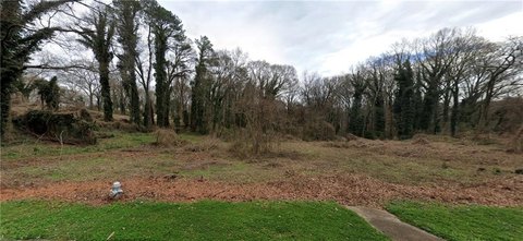
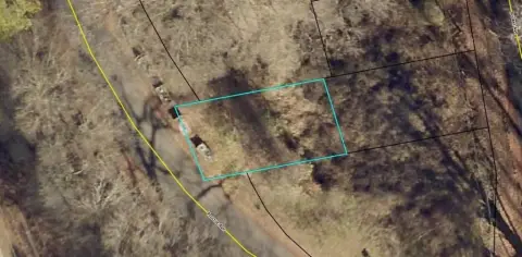
799 Glendale Rd Scottdale, GA 30079-1409
Property profile & analytics
799 Glendale Rd, Scottdale, GA 30079-1409
- Industrial land
- 10,560 SF
- 0.22 lot acres
Property ID
US22-0265532
The Realmo ID is a unique identifier assigned to every property, incorporating country codes and precise geo-coordinates for 300x300-foot land blocks. It enables standardized data collection and seamless integration of disparate sources such as ownership, tax, title data and physical specifications. By aggregating current and historical records, the Realmo ID powers advanced analytics and delivers deep, verifiable insights for real estate professionals.
Location Intelligence
Current Use by Public Records
- Industrial land
Property Details for 799 Glendale Rd
- Lot size
- 0.22 lot acres
- Zone code
- X
- Property type
- Industrial land
- APN
- 18 065 06 041
- APU
- 1806506041
Sales History
| Date | Price | Buyer | Seller | Deed Type | Mortgage |
|---|---|---|---|---|---|
| Nov 24, 2014 | $12,000 | Spectrasite Communications LLC | Borochoff Charles Z Trust | Grant Deed | — |
| Jul 22, 2005 | $385,000 | Borochoff Charles Z Trust | Borochoff,charles Z | Grant Deed · related | — |
Value Estimations
based on Realmo’s proprietary methodology
-
Comparable approach
- Method
- Estimation
- AI Estimate
- $593,000
Market price range: $392k - $2.71M
Get a detailed, property-specific estimation — fast and free
Location Insight
- Map
- Local Demand
- City
- Scottdale
- County
- Dekalb
- State
- Georgia
- Longitude
- -84.2543
- Latitude
- 33.7987
- CBSA code
- 12060
- CBSA name
- ATLANTA-SANDY SPRINGS-MARIETTA, GA METROPOLITAN STATISTICAL AREA
Property Tax & Assessments
Tax date
Tax Amount
Assessed Land Value
Assessed Improvement Value
Total Assessed Value
Applied Tax Rate
Land Market Value
Improvement Market Value
Total Market Value
2024
$1,164
$22,960
$0.00
$22,960
-
$57,400
$0.00
$57,400