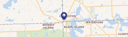
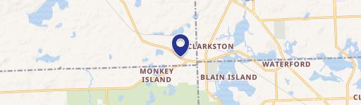
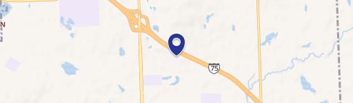
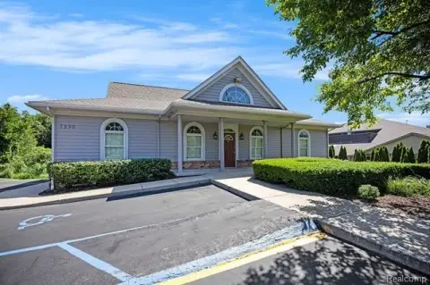
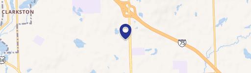
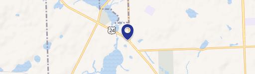
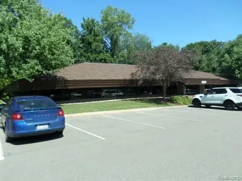
7950 Andersonville Rd Clarkston, MI 48346-2514
Property profile & analytics
7950 Andersonville Rd, Clarkston, MI 48346-2514
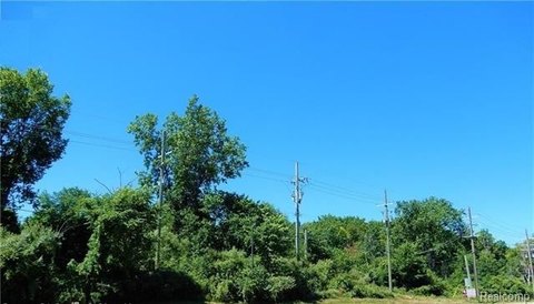
- Industrial properties
- 2,560 SF
- 2.32 lot acres
Property ID
US43-5163789
The Realmo ID is a unique identifier assigned to every property, incorporating country codes and precise geo-coordinates for 300x300-foot land blocks. It enables standardized data collection and seamless integration of disparate sources such as ownership, tax, title data and physical specifications. By aggregating current and historical records, the Realmo ID powers advanced analytics and delivers deep, verifiable insights for real estate professionals.
Location Intelligence
Current Use by Public Records
- Industrial properties
Property Details for 7950 Andersonville Rd
- Year built
- 1982
- Lot size
- 2.32 lot acres
- Zone code
- ML
- Property type
- Industrial properties
- APN
- J -08-31-302-011
- APU
- J0831302011
Sales History
| Date | Price | Buyer | Seller | Deed Type | Mortgage |
|---|---|---|---|---|---|
| Sep 23, 2011 | — | Rech-tech Park II LLC | Rech-tech Park LLC | Quit Claim Deed · related | — |
| Sep 21, 2011 | $126,000 | Malvich,monica L | Owner Name Unavailable | Tax Deed | — |
| Feb 10, 2003 | — | Armand Properties LLC | Armand,william R & Rita J | Quit Claim Deed · related | — |
Value Estimations
based on Realmo’s proprietary methodology
-
AI approach
-
CAP approach
-
Comparable approach
-
Alternative Use
Get a detailed, property-specific estimation — fast and free
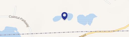
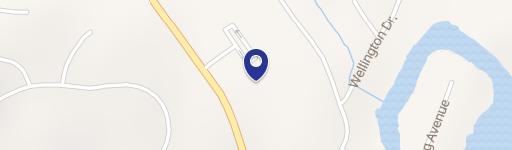
Location Insight
- Map
- Local Demand
- City
- Clarkston
- County
- Oakland
- State
- Michigan
- Longitude
- -83.4458
- Latitude
- 42.7037
- CBSA code
- 19820
- CBSA name
- DETROIT-WARREN-LIVONIA, MI METROPOLITAN STATISTICAL AREA
Property Tax & Assessments
Tax date
Tax Amount
Assessed Land Value
Assessed Improvement Value
Total Assessed Value
Applied Tax Rate
Land Market Value
Improvement Market Value
Total Market Value
2023
$5,751
$140,200
$25,500
$165,700
-
$280,400
$51,000
$331,400