7651 Hwy 291 Ford, WA 99013-9713
Property profile & analytics
7651 Hwy 291, Ford, WA 99013-9713
- Manufacturing properties
- 7,776 SF
- 9.78 lot acres
Property ID
US90-1907826
The Realmo ID is a unique identifier assigned to every property, incorporating country codes and precise geo-coordinates for 300x300-foot land blocks. It enables standardized data collection and seamless integration of disparate sources such as ownership, tax, title data and physical specifications. By aggregating current and historical records, the Realmo ID powers advanced analytics and delivers deep, verifiable insights for real estate professionals.
Location Intelligence
Current Use by Public Records
- Manufacturing properties
Property Details for 7651 Hwy 291
- Year built
- 2014
- Lot size
- 9.78 lot acres
- Property type
- Manufacturing properties
- APN
- 2420100
- APU
- 2420100
Sales History
| Date | Price | Buyer | Seller | Deed Type | Mortgage |
|---|---|---|---|---|---|
| Mar 7, 2025 | $58,000 | Jim William Brewer | Alana Willmann | Warranty Deed | — |
| Sep 30, 2024 | $544,967 | Jeffrey Mindt | Jim William Brewer | Warranty Deed | — |
| Nov 18, 2014 | $58,000 | Brewer Jim W | Willmann A R Living Trust | Dual Purpose Document | $58k · Willmann A R Living Trust (lt) |
Value Estimations
based on Realmo’s proprietary methodology
-
CAP approach
- CAP Return
- Estimation
- 6%
- $755,000
- 6.5%
- $695,000
- 7%
- $645,000
-
Comparable approach
- Method
- Estimation
- AI Estimate
- $765,000
Market price range: $288k - $1.12M -
Alternative Use
- Use
- Estimation
- INDUSTRIAL (GENERAL)
- $725,000 Current use
- AUTO REPAIR, GARAGE
- $1,155,000 Change: +60% Conversion: Easy
- OFFICE BUILDING
- $1,085,000 Change: +50% Conversion: Difficult
- RESTAURANT
- $875,000 Change: +21% Conversion: Difficult
- RETAIL STORES
- $825,000 Change: +14% Conversion: Moderate
- COMMERCIAL (GENERAL)
- $760,000 Change: +5% Conversion: Difficult
Get a detailed, property-specific estimation — fast and free
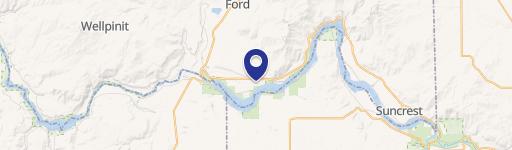
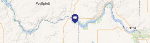
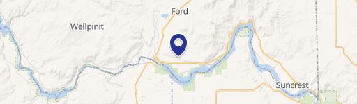
Location Insight
- Map
- Local Demand
- City
- Ford
- County
- Stevens
- State
- Washington
- Longitude
- -117.806
- Latitude
- 47.8373
- CBSA code
- 44060
- CBSA name
- SPOKANE-SPOKANE VALLEY, WA METROPOLITAN STATISTICAL AREA
Property Tax & Assessments
Tax date
Tax Amount
Assessed Land Value
Assessed Improvement Value
Total Assessed Value
Applied Tax Rate
Land Market Value
Improvement Market Value
Total Market Value
2023
$3,750
$34,230
$469,421
$503,651
-
$34,230
$469,421
$503,651