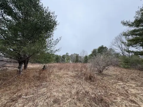
759 Royalsborough Rd Durham, ME 04222-5337
Property profile & analytics
759 Royalsborough Rd, Durham, ME 04222-5337
- Banks
- 2,077 SF
- 1.00 lot acres
Property ID
US42-0510024
The Realmo ID is a unique identifier assigned to every property, incorporating country codes and precise geo-coordinates for 300x300-foot land blocks. It enables standardized data collection and seamless integration of disparate sources such as ownership, tax, title data and physical specifications. By aggregating current and historical records, the Realmo ID powers advanced analytics and delivers deep, verifiable insights for real estate professionals.
Location Intelligence
Current Use by Public Records
- Banks
Property Details for 759 Royalsborough Rd
- Year built
- 1890
- Lot size
- 1.00 lot acres
- Zone code
- RA
- Property type
- Banks
- APN
- DURM M:6 L:23
- APU
- DURMM6L23
Sales History
| Date | Price | Buyer | Seller | Deed Type | Mortgage |
|---|---|---|---|---|---|
| May 9, 2022 | $376,000 | Joshua Callahan | Pacific Premier T | Warranty Deed | $356k · Cmg Mortgage INC |
| Sep 14, 2020 | — | William E Palli JR. | Td Bk NA | Quit Claim Deed · related | — |
| Oct 7, 2019 | — | Td Bk NA | Pynchon,wanda J & Peter C | Deed In Lieu Of Foreclosure · related | — |
Value Estimations
based on Realmo’s proprietary methodology
-
AI approach
-
CAP approach
-
Comparable approach
-
Alternative Use
Get a detailed, property-specific estimation — fast and free
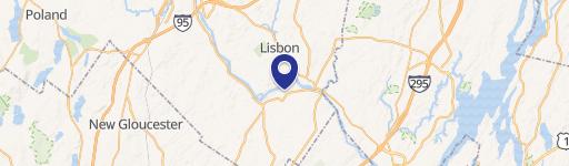
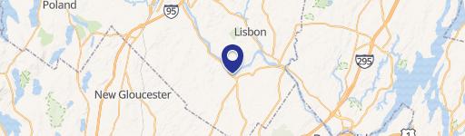
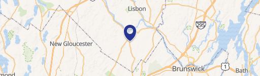
Location Insight
- Map
- Local Demand
- City
- Durham
- County
- Androscoggin
- State
- Maine
- Longitude
- -70.1274
- Latitude
- 43.9813
- CBSA code
- 30340
- CBSA name
- LEWISTON-AUBURN, ME METROPOLITAN STATISTICAL AREA
Property Tax & Assessments
Tax date
Tax Amount
Assessed Land Value
Assessed Improvement Value
Total Assessed Value
Applied Tax Rate
Land Market Value
Improvement Market Value
Total Market Value
2023
$3,512
$60,000
$104,500
$164,500
-
$0.00
$0.00
$0.00