Property profile & analytics
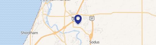
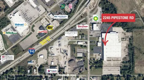
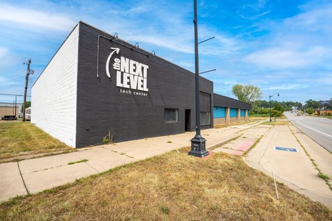
732 Napier Ave Benton Harbor, MI 49022-6124
- Commercial land
- 0.96 lot acres
OFF-MARKET
Value Estimations
Cap Rate Potential
Location Intelligence
Property ID
US43-3763989
The Realmo ID is a unique identifier assigned to every property, incorporating country codes and precise geo-coordinates for 300x300-foot land blocks. It enables standardized data collection and seamless integration of disparate sources such as ownership, tax, title data and physical specifications. By aggregating current and historical records, the Realmo ID powers advanced analytics and delivers deep, verifiable insights for real estate professionals.
Current Use by Public Records
- Commercial land
Property Details for 732 Napier Ave
- Lot size
- 0.96 lot acres
- Zone code
- D1 COMM
- Property type
- Commercial land
- APN
- 03-0031-0038-11-0
- APU
- 300310038110
Description
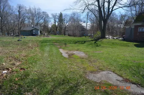
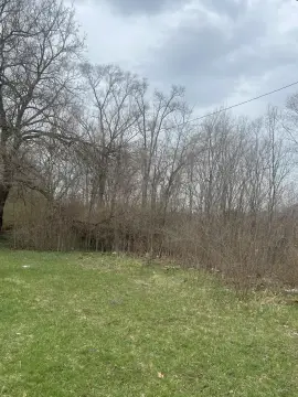
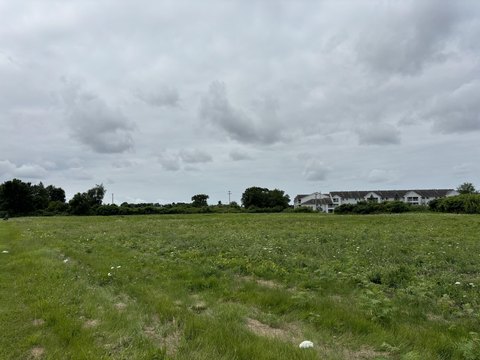
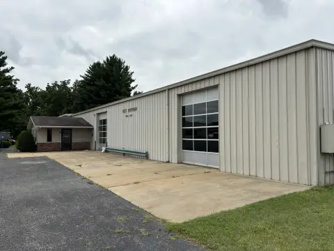
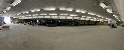
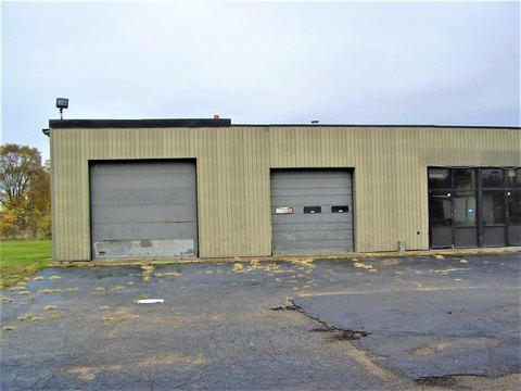
This exceptional 0.98-acre commercial land parcel presents a unique opportunity for development in Benton Harbor, Michigan. Located at 732 E Napier Ave, 49022, this single-tenant property offers significant potential for a variety of commercial uses. The site boasts a total buildable area of 4,300 square feet, currently vacant and ready for immediate development. The expansive 0.98-acre lot provides ample space for construction, parking, and landscaping. Its strategic location in Benton Harbor offers excellent visibility and accessibility, making it an ideal site for businesses seeking a prominent presence in a growing community. The property is zoned for commercial use (zoning information should be independently verified). This is a rare opportunity to acquire a sizable, vacant commercial lot in a desirable location. All utilities are available at the site. Serious inquiries only. Buyers are responsible for conducting their own due diligence regarding zoning, permits, and development regulations. The latitude and longitude coordinates are 42.08708206193314 and -86.4405561325048 respectively.
Value Estimations
based on Realmo’s proprietary methodology
-
AI approach
-
CAP approach
-
Comparable approach
-
Alternative Use
Get a detailed, property-specific valuation — fast and free
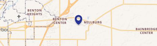
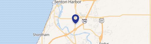
Location Insight
- Map
- Local Demand
- City
- Benton Harbor
- County
- Berrien
- State
- Michigan
- Longitude
- -86.4403
- Latitude
- 42.0868
- CBSA code
- 35660
- CBSA name
- NILES-BENTON HARBOR, MI METROPOLITAN STATISTICAL AREA
Property Tax & Assessments
Tax date
Tax Amount
Assessed Land Value
Assessed Improvement Value
Total Assessed Value
Applied Tax Rate
Land Market Value
Improvement Market Value
Total Market Value
2023
$339
$0.00
$0.00
$19,900
-
$0.00
$0.00
$39,800