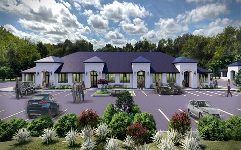
722 Kimball Ave Southlake, TX 76092-9000
Property profile & analytics
722 Kimball Ave, Southlake, TX 76092-9000
- Industrial properties
- 52,454 SF
- 3.46 lot acres
Property ID
US83-3481323
The Realmo ID is a unique identifier assigned to every property, incorporating country codes and precise geo-coordinates for 300x300-foot land blocks. It enables standardized data collection and seamless integration of disparate sources such as ownership, tax, title data and physical specifications. By aggregating current and historical records, the Realmo ID powers advanced analytics and delivers deep, verifiable insights for real estate professionals.
Location Intelligence
Current Use by Public Records
- Industrial properties
Property Details for 722 Kimball Ave
- Year built
- 1945
- Lot size
- 3.46 lot acres
- Property type
- Industrial properties
- APN
- 12858-A-1
- APU
- 12858A1
Sales History
| Date | Price | Buyer | Seller | Deed Type | Mortgage |
|---|---|---|---|---|---|
| Jan 14, 2021 | — | A3 Holdings LLC | — | Deed · related | $3.5M · Prosperity Bk |
| Jan 17, 2019 | — | A3 Holdings LLC | — | Deed · related | $3.5M · Legacytexas Bank |
| Aug 30, 2017 | — | A3 Holdings LP | — | Deed · related | $3M · The American National Bank Of Texas |
| Sep 27, 2013 | — | A3 Holdings INC | Adel M Elborai | Special Warranty Deed | $3M · Jpmorgan Chase Bank NA |
| Jun 8, 2011 | — | Adel M Elborai | Memo Omega Manufacturing INC | Warranty Deed | $389k · Jpmorgan Chase Bank NA |
| Sep 25, 2008 | — | Memo Omega Manufacturing INC | Memo International INC | Venders Lien | $500k · Chase Bank |
| — | — | A3 Holdings LLC | — | Loan Modification · related | $3.5M · Prosperity Bk |
| — | — | Memo Corp | — | Deed Of Trust · related | — |
Value Estimations
based on Realmo’s proprietary methodology
-
AI approach
- Method
- Estimation
- ML approach
- $625,000
-
Comparable approach
- Method
- Estimation
- AI Estimate
- $934,000
Market price range: $567k - $1.58M -
Alternative Use
- Use
- Estimation
- INDUSTRIAL (GENERAL)
- $1,025,000 Current use
Get a detailed, property-specific estimation — fast and free
Location Insight
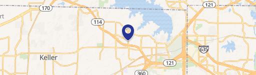
- Map
- Local Demand
- City
- Southlake
- County
- Tarrant
- State
- Texas
- Longitude
- -97.1169
- Latitude
- 32.9326
- CBSA code
- 19100
- CBSA name
- DALLAS-FORT WORTH-ARLINGTON, TX METROPOLITAN STATISTICAL AREA
Property Tax & Assessments
Tax date
Tax Amount
Assessed Land Value
Assessed Improvement Value
Total Assessed Value
Applied Tax Rate
Land Market Value
Improvement Market Value
Total Market Value
2023
$36,453
$489,834
$1,610,166
$2,100,000
-
$489,834
$1,610,166
$2,100,000