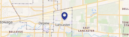
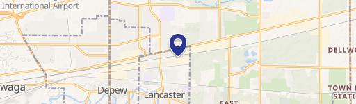
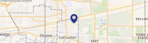
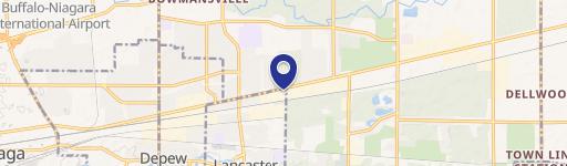
72 Ward Rd Lancaster, NY 14086-9779
Property profile & analytics
72 Ward Rd, Lancaster, NY 14086-9779
- Industrial properties
- 25,471 SF
- 3.73 lot acres
Property ID
US63-6157461
The Realmo ID is a unique identifier assigned to every property, incorporating country codes and precise geo-coordinates for 300x300-foot land blocks. It enables standardized data collection and seamless integration of disparate sources such as ownership, tax, title data and physical specifications. By aggregating current and historical records, the Realmo ID powers advanced analytics and delivers deep, verifiable insights for real estate professionals.
Location Intelligence
Current Use by Public Records
- Electrosynthesis Co / Laboratory
Property Details for 72 Ward Rd
- Year built
- 1993
- Lot size
- 3.73 lot acres
- Zone code
- LI
- Property type
- Industrial properties
- APN
- 145289 95.00-4-9.116
- APU
- 145289950049116
Sales History
| Date | Price | Buyer | Seller | Deed Type | Mortgage |
|---|---|---|---|---|---|
| Jul 17, 2006 | $1,200,000 | Esc Holdings LLC | Greatbatch Holdings LLC | Grant Deed · related | $960k · Manufacturers Traders & Trust |
| Jul 22, 2004 | $1,100,000 | Greatbatch Holdings LLC | Electrosynthesis Co INC | Grant Deed · related | — |
Value Estimations
based on Realmo’s proprietary methodology
-
Comparable approach
- Method
- Estimation
- Statistic Estimate
- $1,295,000
- AI Estimate
- $1,034,000
Market price range: $378k - $1.49MMarket price range: $423k - $1.18M -
Alternative Use
- Use
- Estimation
- INDUSTRIAL (GENERAL)
- $885,000 Current use
- WAREHOUSE, STORAGE
- $1,245,000 Change: +41% Conversion: Easy
Get a detailed, property-specific estimation — fast and free
Location Insight
- Map
- Local Demand
- City
- Lancaster
- County
- Erie
- State
- New York
- Longitude
- -78.6062
- Latitude
- 42.9309
- CBSA code
- 15380
- CBSA name
- BUFFALO-NIAGARA FALLS, NY METROPOLITAN STATISTICAL AREA
Property Tax & Assessments
Tax date
Tax Amount
Assessed Land Value
Assessed Improvement Value
Total Assessed Value
Applied Tax Rate
Land Market Value
Improvement Market Value
Total Market Value
2023
$0.00
$165,000
$1,275,000
$1,440,000
-
$220,000
$1,700,000
$1,920,000