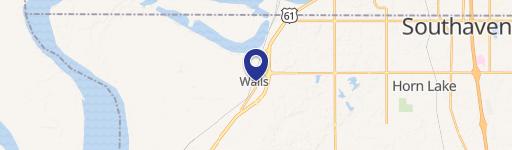
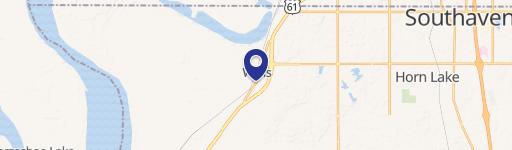
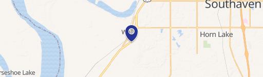
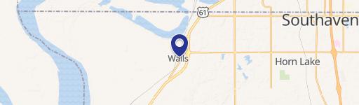
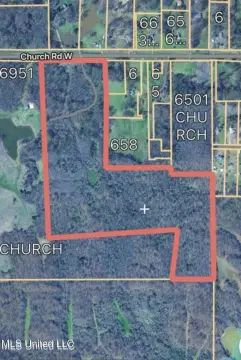
7136 Hwy 301 Walls, MS 38680-4030
Property profile & analytics
7136 Hwy 301, Walls, MS 38680-4030
- Office Spaces
- 6,158 SF
- 19.65 lot acres
Property ID
US50-0121863
The Realmo ID is a unique identifier assigned to every property, incorporating country codes and precise geo-coordinates for 300x300-foot land blocks. It enables standardized data collection and seamless integration of disparate sources such as ownership, tax, title data and physical specifications. By aggregating current and historical records, the Realmo ID powers advanced analytics and delivers deep, verifiable insights for real estate professionals.
Location Intelligence
Current Use by Public Records
- Office Spaces
Property Details for 7136 Hwy 301
- Construction
- BRICK
- Lot size
- 19.65 lot acres
- Zone code
- A-R
- Property type
- Office Spaces
- APN
- 1-08-9-30-00-0-00009-01
- APU
- 1089300000000901
Sales History
| Date | Price | Buyer | Seller | Deed Type | Mortgage |
|---|---|---|---|---|---|
| Dec 23, 2024 | — | Lynchburg Mobile Home Village LLC | — | Deed · related | $400k · First Technology Federal Cu |
| Dec 17, 2010 | — | Lynchburg Mobile Home Village LLC | Tim Puckett | Warranty Deed | $1.6M · Tim Puckett |
Value Estimations
based on Realmo’s proprietary methodology
-
AI approach
-
CAP approach
-
Comparable approach
-
Alternative Use
Get a detailed, property-specific estimation — fast and free
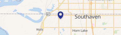
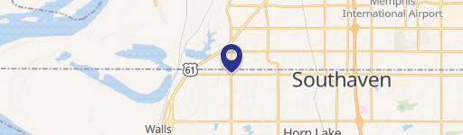
Location Insight
- Map
- Local Demand
- City
- Walls
- County
- Desoto
- State
- Mississippi
- Longitude
- -90.0932
- Latitude
- 34.9645
- CBSA code
- 32820
- CBSA name
- MEMPHIS, TN-MS-AR METROPOLITAN STATISTICAL AREA
Property Tax & Assessments
Tax date
Tax Amount
Assessed Land Value
Assessed Improvement Value
Total Assessed Value
Applied Tax Rate
Land Market Value
Improvement Market Value
Total Market Value
2023
$11,609
$0.00
$0.00
$77,706
-
$392,000
$126,037
$518,037