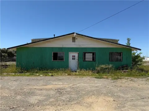
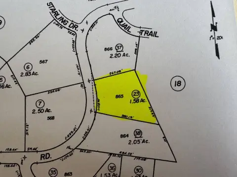
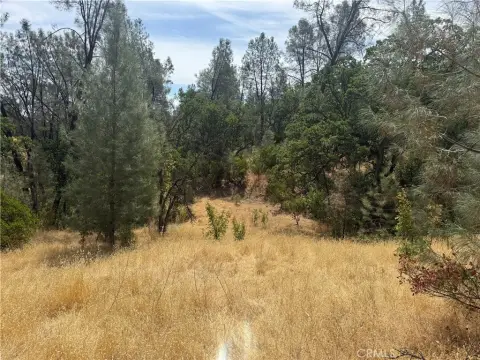
711 Fig Ln Corning, CA 96021
Property profile & analytics
711 Fig Ln, Corning, CA 96021
- Warehouses
- 1.94 lot acres
Property ID
US09-1846371
The Realmo ID is a unique identifier assigned to every property, incorporating country codes and precise geo-coordinates for 300x300-foot land blocks. It enables standardized data collection and seamless integration of disparate sources such as ownership, tax, title data and physical specifications. By aggregating current and historical records, the Realmo ID powers advanced analytics and delivers deep, verifiable insights for real estate professionals.
Location Intelligence
Current Use by Public Records
- Warehouses
Property Details for 711 Fig Ln
- Lot size
- 1.94 lot acres
- Zone code
- M-1
- Property type
- Warehouses
- APN
- 073-260-008-000
- APU
- 73260008000
Sales History
| Date | Price | Buyer | Seller | Deed Type | Mortgage |
|---|---|---|---|---|---|
| Sep 23, 2022 | $201,500 | The Lindsay Olives Corporation | William S Floyd JR | Grant Deed | $6.9M · Rabo Agrifinance INC |
| Jan 4, 2022 | — | William S Floyd JR | — | Deed · related | $105k · Bmo Harris Bank NA |
Value Estimations
based on Realmo’s proprietary methodology
-
AI approach
-
CAP approach
-
Comparable approach
-
Alternative Use
Get a detailed, property-specific estimation — fast and free
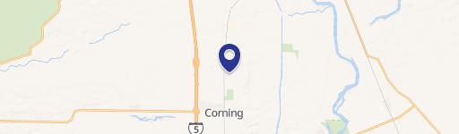
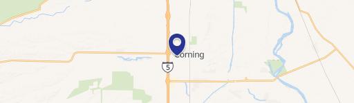
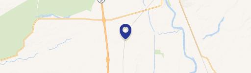
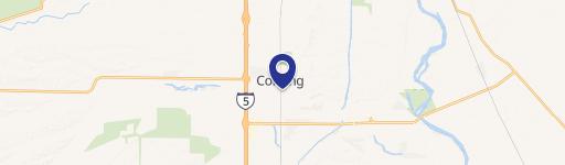
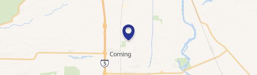
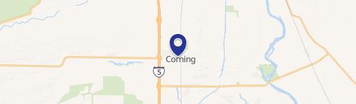
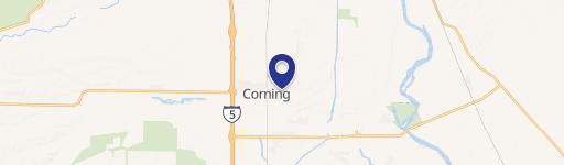
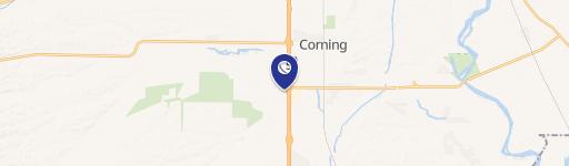
Location Insight
- Map
- Local Demand
- City
- Corning
- County
- Tehama
- State
- California
- Longitude
- -122.175
- Latitude
- 39.9203
- CBSA code
- 39780
- CBSA name
- RED BLUFF, CA MICROPOLITAN STATISTICAL AREA
Property Tax & Assessments
Tax date
Tax Amount
Assessed Land Value
Assessed Improvement Value
Total Assessed Value
Applied Tax Rate
Land Market Value
Improvement Market Value
Total Market Value
2024
$2,379
$125,218
$98,809
$224,027
-
$0.00
$0.00
$0.00