7069 Wilson Ave Tahoma, CA 96141
Property profile & analytics
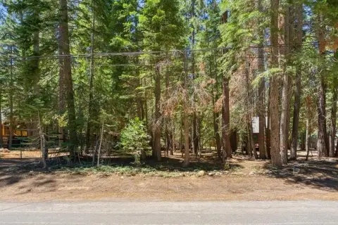
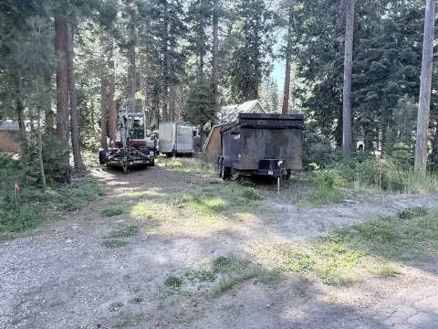
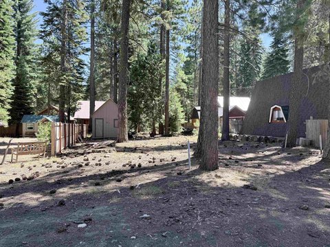
7069 Wilson Ave, Tahoma, CA 96141
- Commercial land
- 10,920 SF
- 0.25 lot acres
Property ID
US09-3818813
The Realmo ID is a unique identifier assigned to every property, incorporating country codes and precise geo-coordinates for 300x300-foot land blocks. It enables standardized data collection and seamless integration of disparate sources such as ownership, tax, title data and physical specifications. By aggregating current and historical records, the Realmo ID powers advanced analytics and delivers deep, verifiable insights for real estate professionals.
Location Intelligence
Current Use by Public Records
- Commercial land
Property Details for 7069 Wilson Ave
- Lot size
- 0.25 lot acres
- Zone code
- C
- Property type
- Commercial land
- APN
- 015-331-020-000
- APU
- 15331020000
Sales History
| Date | Price | Buyer | Seller | Deed Type | Mortgage |
|---|---|---|---|---|---|
| May 16, 2022 | $290,000 | Matthew Fine | B & D Properties LLC | Grant Deed | — |
| Mar 23, 2015 | $289,000 | B & D Properties LLC | Matthew C Clark | Grant Deed | $202k · Plumas Bank |
| Oct 11, 2005 | $150,000 | Clark,matthew C | Owner Name Unavailable | Grant Deed | — |
| Sep 11, 1978 | $6,500 | Bernard R Damele | — | Grant Deed · related | — |
| Aug 1, 1968 | — | — | — | Grant Deed · related | — |
Value Estimations
based on Realmo’s proprietary methodology
-
AI approach
-
CAP approach
-
Comparable approach
-
Alternative Use
Get a detailed, property-specific estimation — fast and free
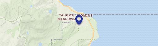
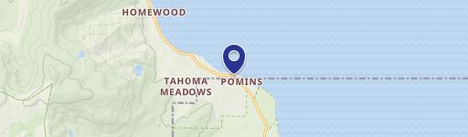
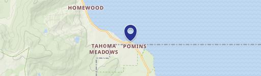
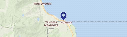
Location Insight
- Map
- Local Demand
- City
- Tahoma
- County
- El Dorado
- State
- California
- Longitude
- -120.128
- Latitude
- 39.0658
- CBSA code
- 40900
- CBSA name
- SACRAMENTO--ARDEN-ARCADE--ROSEVILLE, CA METROPOLITAN STATISTICAL AREA
Property Tax & Assessments
Tax date
Tax Amount
Assessed Land Value
Assessed Improvement Value
Total Assessed Value
Applied Tax Rate
Land Market Value
Improvement Market Value
Total Market Value
2023
$3,546
$295,800
$0.00
$295,800
-
$0.00
$0.00
$0.00