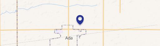
702 Montford Ave Ada, OH 45810-1802
Property profile & analytics
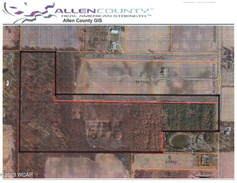
702 Montford Ave, Ada, OH 45810-1802
- Manufacturing properties
- 49,800 SF
- 4.57 lot acres
Property ID
US66-4946813
The Realmo ID is a unique identifier assigned to every property, incorporating country codes and precise geo-coordinates for 300x300-foot land blocks. It enables standardized data collection and seamless integration of disparate sources such as ownership, tax, title data and physical specifications. By aggregating current and historical records, the Realmo ID powers advanced analytics and delivers deep, verifiable insights for real estate professionals.
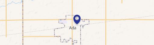
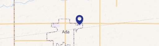
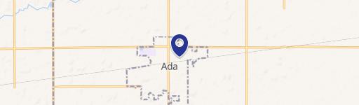
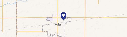
Location Intelligence
Current Use by Public Records
- Manufacturing properties
Property Details for 702 Montford Ave
- Year built
- 2000
- Lot size
- 4.57 lot acres
- Property type
- Manufacturing properties
- APN
- 25-170141.0000
- APU
- 251701410000
Sales History
| Date | Price | Buyer | Seller | Deed Type | Mortgage |
|---|---|---|---|---|---|
| Dec 9, 2010 | $360,000 | 702 E Montford Ave LLC | John Segala | Warranty Deed | — |
Value Estimations
based on Realmo’s proprietary methodology
-
AI approach
- Method
- Estimation
- ML approach
- $705,000
-
Comparable approach
- Method
- Estimation
- AI Estimate
- $703,000
Market price range: $704k - $2.66M
Get a detailed, property-specific estimation — fast and free
Location Insight
- Map
- Local Demand
- City
- Ada
- County
- Hardin
- State
- Ohio
- Longitude
- -83.8112
- Latitude
- 40.7742
Property Tax & Assessments
Tax date
Tax Amount
Assessed Land Value
Assessed Improvement Value
Total Assessed Value
Applied Tax Rate
Land Market Value
Improvement Market Value
Total Market Value
2023
$13,132
$24,830
$227,730
$252,560
-
$70,940
$650,660
$721,600