7010 181st St Kenmore, WA 98028-2709
Property profile & analytics
7010 181st St, Kenmore, WA 98028-2709
- Commercial land
- 1.11 lot acres
Property ID
US90-2062652
The Realmo ID is a unique identifier assigned to every property, incorporating country codes and precise geo-coordinates for 300x300-foot land blocks. It enables standardized data collection and seamless integration of disparate sources such as ownership, tax, title data and physical specifications. By aggregating current and historical records, the Realmo ID powers advanced analytics and delivers deep, verifiable insights for real estate professionals.
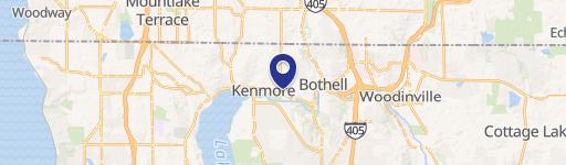
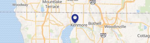
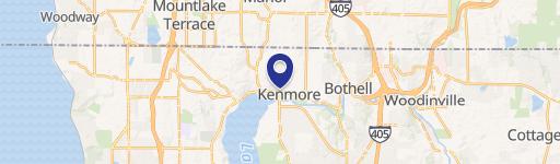
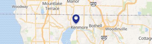
Location Intelligence
Current Use by Public Records
- Commercial land
Property Details for 7010 181st St
- Lot size
- 1.11 lot acres
- Zone code
- DC
- Property type
- Commercial land
- APN
- 011410-0590
- APU
- 114100590
Sales History
| Date | Price | Buyer | Seller | Deed Type | Mortgage |
|---|---|---|---|---|---|
| Mar 20, 2026 | — | Approach At Kenmore Lllp | City Of Kenmore | Special Warranty Deed | $1.9M · Impact Capital |
| Sep 19, 2022 | — | City Of Kenmore | Ben Holt Industries INC | Warranty Deed | — |
| May 13, 1988 | $560,625 | Ben Holt Industries INC | Horrigan,james J | Grant Deed | — |
Value Estimations
based on Realmo’s proprietary methodology
-
AI approach
-
CAP approach
-
Comparable approach
-
Alternative Use
Get a detailed, property-specific estimation — fast and free
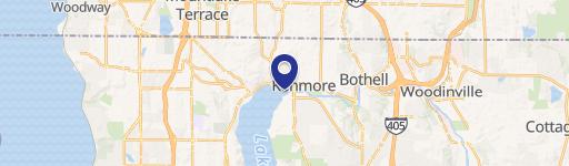
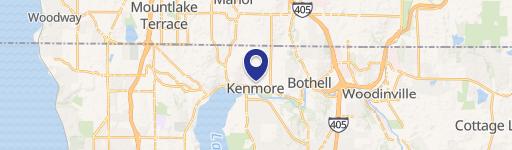
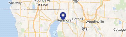
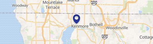
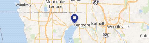
Location Insight
- Map
- Local Demand
- City
- Kenmore
- County
- King
- State
- Washington
- Longitude
- -122.247
- Latitude
- 47.76
- CBSA code
- 42660
- CBSA name
- SEATTLE-TACOMA-BELLEVUE, WA METROPOLITAN STATISTICAL AREA
Property Tax & Assessments
Tax date
Tax Amount
Assessed Land Value
Assessed Improvement Value
Total Assessed Value
Applied Tax Rate
Land Market Value
Improvement Market Value
Total Market Value
2022
$1,929
$0.00
$0.00
$0.00
-
$0.00
$0.00
$0.00