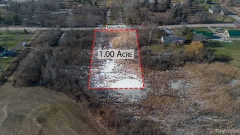
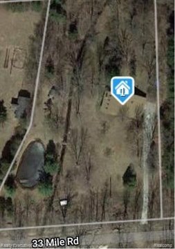
70001 Powell Rd Bruce Twp, MI 48065-4905
Property profile & analytics
70001 Powell Rd, Bruce Twp, MI 48065-4905
- Industrial land
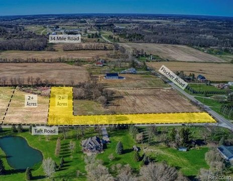
- 27.07 lot acres
Property ID
US43-0081689
The Realmo ID is a unique identifier assigned to every property, incorporating country codes and precise geo-coordinates for 300x300-foot land blocks. It enables standardized data collection and seamless integration of disparate sources such as ownership, tax, title data and physical specifications. By aggregating current and historical records, the Realmo ID powers advanced analytics and delivers deep, verifiable insights for real estate professionals.
Location Intelligence
Current Use by Public Records
- Life Skills Center / Crisis Center / Medical Clinic
Property Details for 70001 Powell Rd
- Year built
- 1965
- Lot size
- 27.07 lot acres
- Zone code
- VERIFY
- Property type
- Industrial land
- APN
- 27-01-36-200-029
- APU
- 270136200029
Sales History
| Date | Price | Buyer | Seller | Deed Type | Mortgage |
|---|---|---|---|---|---|
| Dec 19, 2019 | — | Kemp & Peyerk LLC | Kemp & Peyerk-sterling LLC | Quit Claim Deed · related | — |
| Jul 29, 2019 | — | County Of Macomb | Kemp & Peyerk-sterling LLC | Quit Claim Deed · related | — |
| Nov 21, 2006 | $340,000 | Executive Decisions LLC | Kemp & Peryek-sterling LLC | Warranty Deed | — |
| — | — | Kem & Peyerk-sterling LLC | — | Deed Of Trust · related | — |
| — | — | Kemp & Peyerk Sterling LLC | — | Deed Of Trust · related | $5M · Lasalle Bank Midwest NA |
Value Estimations
based on Realmo’s proprietary methodology
-
AI approach
-
CAP approach
-
Comparable approach
-
Alternative Use
Get a detailed, property-specific estimation — fast and free
Location Insight
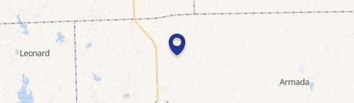
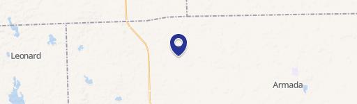
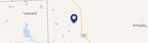
- Map
- Local Demand
- City
- Bruce Twp
- County
- Macomb
- State
- Michigan
- Longitude
- -82.9827
- Latitude
- 42.8134
- CBSA code
- 19820
- CBSA name
- DETROIT-WARREN-LIVONIA, MI METROPOLITAN STATISTICAL AREA
Property Tax & Assessments
Tax date
Tax Amount
Assessed Land Value
Assessed Improvement Value
Total Assessed Value
Applied Tax Rate
Land Market Value
Improvement Market Value
Total Market Value
2022
$26,564
$0.00
$0.00
$714,600
-
$0.00
$0.00
$1,429,200