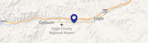
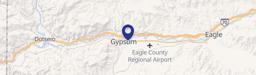
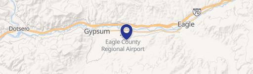
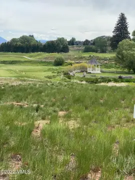
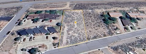
700 Red Table Dr Gypsum, CO 81637
Property profile & analytics
700 Red Table Dr, Gypsum, CO 81637
- Commercial land
- 43,560 SF
- 1.00 lot acres

Property ID
US13-1302708
The Realmo ID is a unique identifier assigned to every property, incorporating country codes and precise geo-coordinates for 300x300-foot land blocks. It enables standardized data collection and seamless integration of disparate sources such as ownership, tax, title data and physical specifications. By aggregating current and historical records, the Realmo ID powers advanced analytics and delivers deep, verifiable insights for real estate professionals.
Location Intelligence
Current Use by Public Records
- Commercial land
Property Details for 700 Red Table Dr
- Lot size
- 1.00 lot acres
- Property type
- Commercial land
- APN
- 2111 042 02 007
- APU
- 211104202007
Sales History
| Date | Price | Buyer | Seller | Deed Type | Mortgage |
|---|---|---|---|---|---|
| Jan 13, 2022 | $320,000 | RT Gypsum LLC | Red Table Tire LLC | Special Warranty Deed | — |
| Jun 24, 2020 | — | Red Table Tire LLC | Chris Nestor | Quit Claim Deed · related | $1.9M · J&l Commercial Finance LLC |
| Apr 2, 2014 | $380,000 | Oreilly Auto Ents LLC | Lsc Northwest Colorado LLC | Grant Deed | — |
| Nov 27, 2012 | — | Downtown Partners LLC | Public Trustee Of Eagle County | Trustees Deed · related | — |
| Apr 27, 2006 | $1,500,000 | Downtown Partners LLC | Jules Drive Busn Park Of Gypsum I | Grant Deed | $1.1M · Community Bk/co |
Value Estimations
based on Realmo’s proprietary methodology
-
AI approach
-
CAP approach
-
Comparable approach
-
Alternative Use
Get a detailed, property-specific estimation — fast and free
Location Insight
- Map
- Local Demand
- City
- Gypsum
- County
- Eagle
- State
- Colorado
- Longitude
- -106.937
- Latitude
- 39.6466
- CBSA code
- 20780
- CBSA name
- EDWARDS, CO MICROPOLITAN STATISTICAL AREA
Property Tax & Assessments
Tax date
Tax Amount
Assessed Land Value
Assessed Improvement Value
Total Assessed Value
Applied Tax Rate
Land Market Value
Improvement Market Value
Total Market Value
2023
$5,058
$87,500
$0.00
$87,500
-
$313,630
$0.00
$313,630