Property profile & analytics
7 Monroe St Rockford, MI 49341-1229
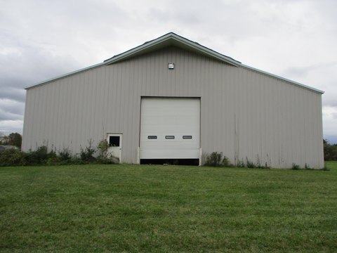
- Commercial real estate
- 1.57 lot acres
OFF-MARKET
Value Estimations
Cap Rate Potential
Location Intelligence
Property ID
US43-0557105
The Realmo ID is a unique identifier assigned to every property, incorporating country codes and precise geo-coordinates for 300x300-foot land blocks. It enables standardized data collection and seamless integration of disparate sources such as ownership, tax, title data and physical specifications. By aggregating current and historical records, the Realmo ID powers advanced analytics and delivers deep, verifiable insights for real estate professionals.
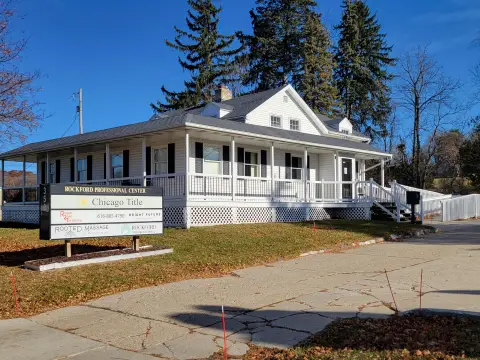
Current Use by Public Records
- Rockford Department of Public Safety / Police Department / Department Of Public Safety
- Rockford Fire Department / Fire Station
- Rockford General Offices / City Government Office
- Excel Aire of Rockford / HVAC Service / General Contractor
- Rockford City Hall / City Hall
Property Details for 7 Monroe St
- Year built
- 1976
- Lot size
- 1.57 lot acres
- Zone code
- C-2
- Property type
- Commercial real estate
- APN
- 41-06-36-455-021
- APU
- 410636455021
Value Estimations
based on Realmo’s proprietary methodology
-
AI approach
-
CAP approach
-
Comparable approach
-
Alternative Use
Get a detailed, property-specific valuation — fast and free
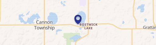
Location Insight
- Map
- Local Demand
- City
- Rockford
- County
- Kent
- State
- Michigan
- Longitude
- -85.5587
- Latitude
- 43.1193
- CBSA code
- 24340
- CBSA name
- GRAND RAPIDS-WYOMING, MI METROPOLITAN STATISTICAL AREA
Property Tax & Assessments
Tax date
Tax Amount
Assessed Land Value
Assessed Improvement Value
Total Assessed Value
Applied Tax Rate
Land Market Value
Improvement Market Value
Total Market Value
2021
$0.00
$0.00
$0.00
$0.00
-
$0.00
$0.00
$0.00