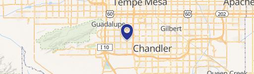
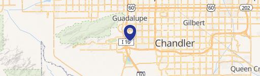
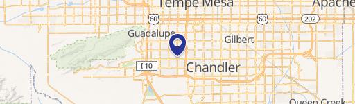
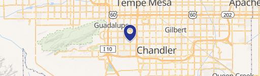
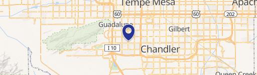
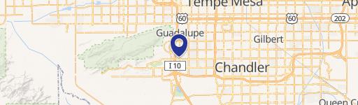
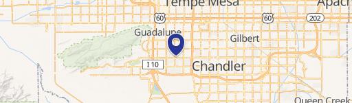
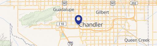
6969 Ray Rd Chandler, AZ 85226-1623
Property profile & analytics
6969 Ray Rd Chandler, AZ 85226-1623
- Grocery and convenience stores
- 2,880 SF
- 1.21 lot acres
Property ID
US07-0896806
The Realmo ID is a unique identifier assigned to every property, incorporating country codes and precise geo-coordinates for 300x300-foot land blocks. It enables standardized data collection and seamless integration of disparate sources such as ownership, tax, title data and physical specifications. By aggregating current and historical records, the Realmo ID powers advanced analytics and delivers deep, verifiable insights for real estate professionals.
Location Intelligence
Current Use by Public Records
- Circle K / Grocery & Convenience Store
- ATM / Atm
- L&M Roofing Company - New Roof / Corporate Office
- Circle K Gas / Gas Station
Property Details for 6969 Ray Rd
- Year built
- 1997
- Construction
- CONCRETE
- Lot size
- 1.21 lot acres
- Property size
- 2,880 SF
- Zone code
- PAD
- Property type
- Grocery and convenience stores
- APN
- 301-68-010P
- APU
- 30168010P
Value Estimations
based on Realmo’s proprietary methodology
-
Comparable approach
- Method
- Estimation
- Statistic Estimate
- $2,399,000
- AI Estimate
- $2,353,000
Market price range: $787k - $2.40MMarket price range: $733k - $2.35M -
Alternative Use
- Use
- Estimation
- NEIGHBORHOOD: SHOPPING CENTER
- $1,830,000 Current use
- COMMERCIAL (GENERAL)
- $2,310,000 Change: +26% Conversion: Easy
Get a detailed, property-specific estimation — fast and free
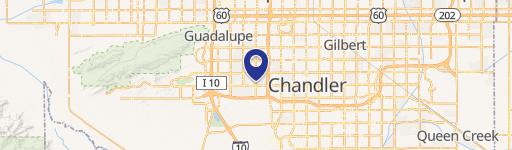
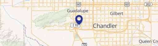
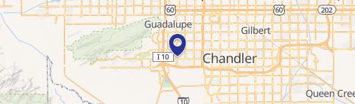
Location Insight
- Map
- Local Demand
- City
- Chandler
- County
- Maricopa
- State
- Arizona
- Longitude
- -111.962
- Latitude
- 33.3194
- CBSA code
- 38060
- CBSA name
- PHOENIX-MESA-SCOTTSDALE, AZ METROPOLITAN STATISTICAL AREA
Property Tax & Assessments
Tax date
Tax Amount
Assessed Land Value
Assessed Improvement Value
Total Assessed Value
Applied Tax Rate
Land Market Value
Improvement Market Value
Total Market Value
2022
$27,903
$0.00
$0.00
$338,267
-
$1,494,700
$555,400
$2,050,100
Comparable in this City
Similar Nearby for Sale


Similar Nearby for Lease


Property Visit Statistics
-
Visits by month26.5k
-
Visitors by month16.2k
-
Avg Time on site5 min


