6927 Hwy 89 Willard, UT 84340-9502
Property profile & analytics
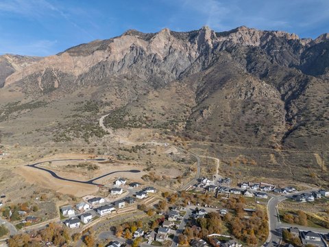
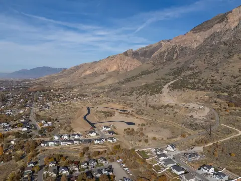
6927 Hwy 89, Willard, UT 84340-9502
- Office buildings
- 1,305 SF
- 2.00 lot acres
Property ID
US86-1097836
The Realmo ID is a unique identifier assigned to every property, incorporating country codes and precise geo-coordinates for 300x300-foot land blocks. It enables standardized data collection and seamless integration of disparate sources such as ownership, tax, title data and physical specifications. By aggregating current and historical records, the Realmo ID powers advanced analytics and delivers deep, verifiable insights for real estate professionals.
Location Intelligence
Current Use by Public Records
- Office buildings
Property Details for 6927 Hwy 89
- Year built
- 1969
- Lot size
- 2.00 lot acres
- Property type
- Office buildings
- APN
- 02-055-0037
- APU
- 20550037
Sales History
| Date | Price | Buyer | Seller | Deed Type | Mortgage |
|---|---|---|---|---|---|
| Mar 31, 2017 | — | Anderson Brothers Properties And In | Dell N Braegger | Warranty Deed | $142k · Goldenwest FCU |
| Sep 19, 2016 | — | Dell N Braegger | — | Deed · related | $59k · Bank Of Utah |
| Mar 20, 2013 | — | Dell N Braegger | Dell N Braegger | Intrafamily Transfer · related | — |
| Jan 15, 2008 | — | Adell Braegger | B & S Ranch LLC | Quit Claim Deed · related | — |
Value Estimations
based on Realmo’s proprietary methodology
-
AI approach
-
CAP approach
-
Comparable approach
-
Alternative Use
Get a detailed, property-specific estimation — fast and free
Location Insight
- Map
- Local Demand
- City
- Willard
- County
- Box Elder
- State
- Utah
- Longitude
- -112.031
- Latitude
- 41.3839
- CBSA code
- 36260
- CBSA name
- OGDEN-CLEARFIELD, UT METROPOLITAN STATISTICAL AREA
Property Tax & Assessments
Tax date
Tax Amount
Assessed Land Value
Assessed Improvement Value
Total Assessed Value
Applied Tax Rate
Land Market Value
Improvement Market Value
Total Market Value
2022
$1,859
$160,083
$45,264
$205,347
-
$160,083
$45,264
$205,347