680 Polaris Pkwy Westerville, OH 43082
Property profile & analytics
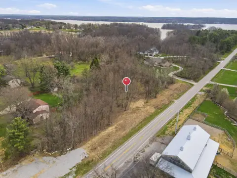
680 Polaris Pkwy, Westerville, OH 43082
- Commercial land
- 7.87 lot acres
Property ID
US66-4098955
The Realmo ID is a unique identifier assigned to every property, incorporating country codes and precise geo-coordinates for 300x300-foot land blocks. It enables standardized data collection and seamless integration of disparate sources such as ownership, tax, title data and physical specifications. By aggregating current and historical records, the Realmo ID powers advanced analytics and delivers deep, verifiable insights for real estate professionals.
Location Intelligence
Current Use by Public Records
- Commercial land
Property Details for 680 Polaris Pkwy
- Lot size
- 7.87 lot acres
- Property type
- Commercial land
- APN
- 318-441-01-008-003
- APU
- 31844101008003
Sales History
| Date | Price | Buyer | Seller | Deed Type | Mortgage |
|---|---|---|---|---|---|
| Nov 14, 2025 | — | Polaris Dd LLC | Np Fg LLC | Warranty Deed | — |
| Jun 12, 2025 | — | Coms Real Estate Group LLC | — | Deed · related | $4.9M · The Huntington National Bank |
| Oct 23, 2018 | — | Polaris Sw LLC | Np/fg LLC | Warranty Deed · related | — |
| Sep 18, 2017 | $2,565,000 | Welltower INC | Westar Paramount LLC | Grant Deed | — |
| Jun 2, 2015 | — | Np LP | Np/fg LLC | Warranty Deed | — |
| Apr 5, 2007 | — | Polaris Jam LLC | Np | Grant Deed · related | — |
| Jul 11, 2005 | $2,800,000 | Np | Zumstein Farm North Ltd | Warranty Deed | — |
| — | — | Zumstein Farm North Ltd | — | Deed Of Trust · related | $188k · Milton E Fullen |
| — | — | Zumstein Farm North Ltd | — | Deed Of Trust · related | $2M · First American Title Insurance |
Value Estimations
based on Realmo’s proprietary methodology
-
AI approach
-
CAP approach
-
Comparable approach
-
Alternative Use
Get a detailed, property-specific estimation — fast and free
Location Insight
- Map
- Local Demand
- City
- Westerville
- County
- Delaware
- State
- Ohio
- Longitude
- -82.9521
- Latitude
- 40.1464
- CBSA code
- 18140
- CBSA name
- COLUMBUS, OH METROPOLITAN STATISTICAL AREA
Property Tax & Assessments
Tax date
Tax Amount
Assessed Land Value
Assessed Improvement Value
Total Assessed Value
Applied Tax Rate
Land Market Value
Improvement Market Value
Total Market Value
2023
$47,743
$588,910
$0.00
$588,910
-
$1,682,600
$0.00
$1,682,600