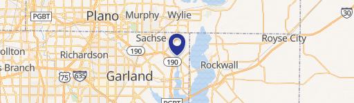
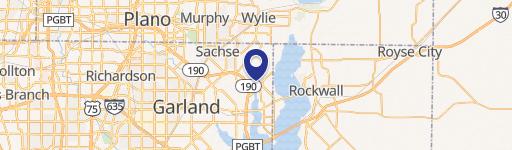
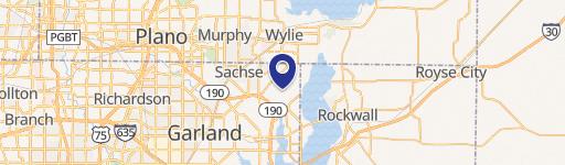
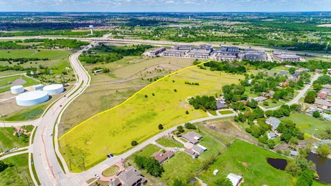
6701 Liberty Grove Rd Rowlett, TX 75089
 For Sale
1 / 5
For Sale
1 / 5
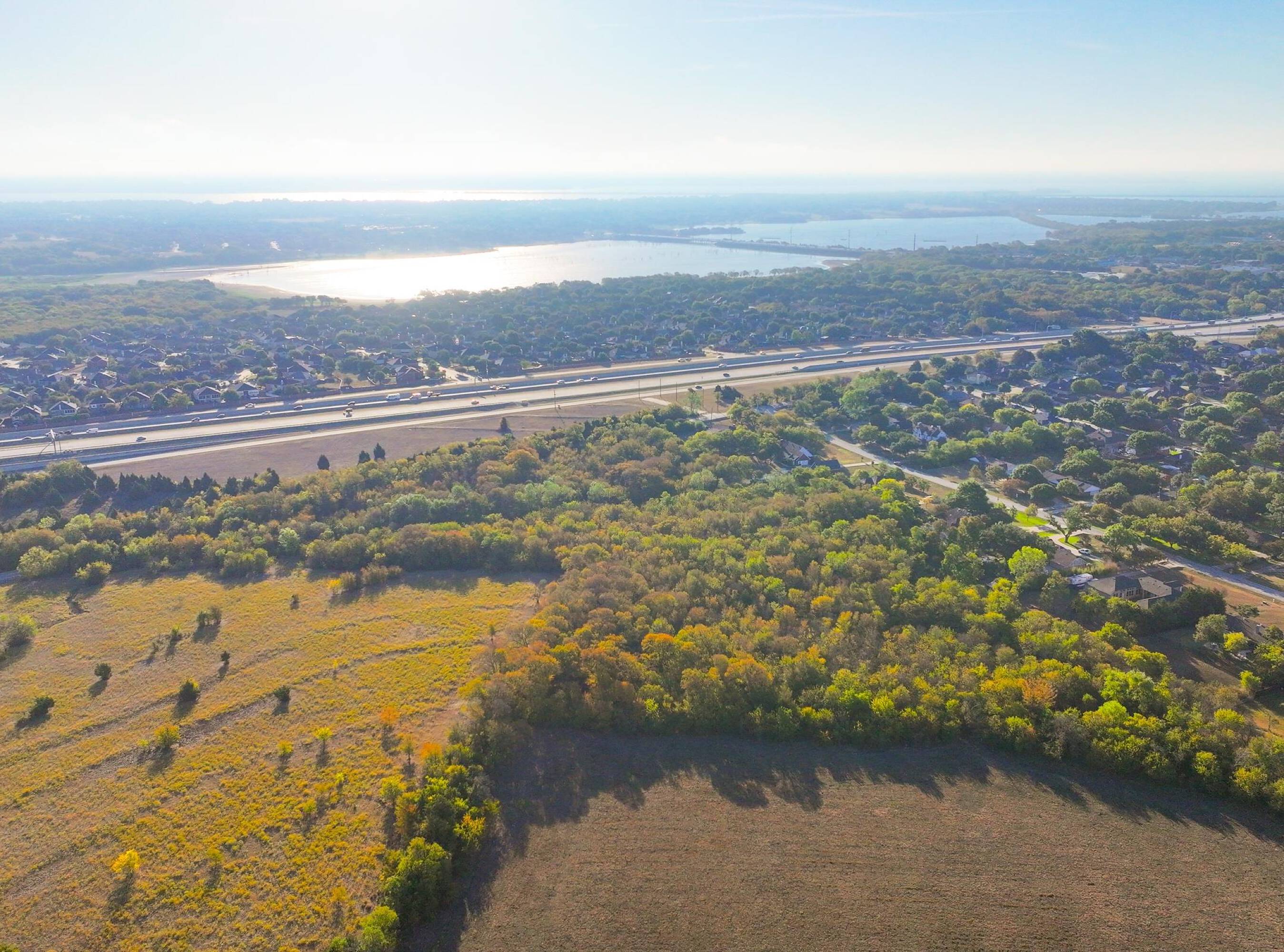
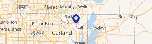
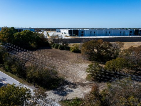
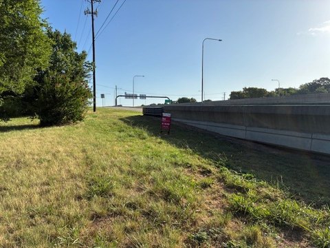
This exceptional 16.2-acre commercial land parcel presents a unique investment opportunity in the thriving Southern corridor of Rowlett's North Shore District. Located at 6701 Liberty Grove Road, Rowlett, Texas, 75089, this property offers unparalleled access via its front door location to adjacent larger tracts, presenting significant potential for expansion or master-planned development. The property's zoning designation is Form Based Code – Commercial Center, allowing for a mixed-use development inclusive of residential components. This flexibility allows for a wide range of development possibilities, catering to diverse needs and maximizing investment returns. Situated in Dallas County, this strategically located land benefits from its proximity to major thoroughfares, ensuring excellent visibility and accessibility. The precise acreage is approximately 16.2 acres, providing ample space for ambitious projects. Interested parties should contact the seller directly for pricing information. The property's coordinates are 32.92077 latitude and -96.5577519 longitude.
Cap rate
Implied · in-place · derived from last sale + estimated NOIValue
AI, CAP & Alternative Use estimations · Realmo proprietary blendProperty tax & assessments
Tax year 2024Comparables
6 recent transactions · within 1.5 miComparable in this City
Similar Nearby for Sale


Similar Nearby for Lease


Property description
Physical attributes from public recordsZoning & alternative use
Z405 · Rowlett, TXRowlett. Always verify with local authorities before improvements.
Costs & Benchmarks
Operating expenses, capex projections, utility benchmarks, and submarket comparables — all in one view.
Risks
Flood, climate, environmental, title, and tenant-concentration risk — surfaced with mitigations and source citations.


