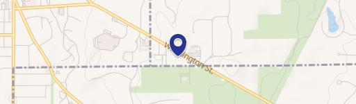
67 Washington St Chagrin Falls, OH 44022-3028
O Retail Business R Central Shopping CS Limited Industrial LI Overlay Districts Residential Mixed Use RMU (Ord. 2019-39. Passed 8-13-19.) Share Download Bookmark Print 1119.02 ZONING MAP. The aforesaid districts are designated by symbols and the locations and boundaries of such districts are established on the Map entitled "Zoning Map of the Municipality of…
Cap rate
Implied · in-place · derived from last sale + estimated NOIValue
AI, CAP & Alternative Use estimations · Realmo proprietary blendProperty tax & assessments
Tax year 2023Comparables
6 recent transactions · within 1.5 miComparable in this City




Similar Nearby for Sale
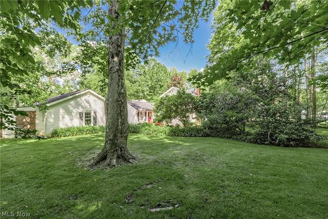


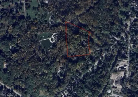
Property description
Physical attributes from public recordsZoning & alternative use
O · Chagrin Falls, OHO Retail Business R Central Shopping CS Limited Industrial LI Overlay Districts Residential Mixed Use RMU (Ord. 2019-39. Passed 8-13-19.) Share Download Bookmark Print 1119.02 ZONING MAP. The aforesaid districts are designated by symbols and the locations and boundaries of such districts are established on the Map entitled "Zoning Map of the Municipality of Chagrin Falls, or the Village of Chagrin Falls Zoning Map ", or similar title and referred to in the Planning and Zoning Code as the Map or Zoning Map. The notations, schedules and other information shown thereon and all amendments thereto are hereby made a part of this Planning and Zoning Code. The Map shall indicate the approval of the Planning and Zoning Commission and adoption by Council. The Map, or a print thereof, shall be on file with the Clerk of Council and the Administrator and shall be the final authority as to the status of current zoning map districts. (Ord. 2019-39. Passed 8-13-19.) Share Download Bookmark Print 1119.03 DISTRICT BOUNDARY LINES. The district boundary lines of the Map enclose an area of a designated district, and generally follow the center lines of streets, alleys, and lot lines or their extensions, provided, however: (a) Where a district boundary line is shown by dimension or relationship as being located a specific distance from and parallel to a street or property line, such distance shall control; (b) Where a district boundary line is shown as adjoining a railroad, it shall, unless otherwise fixed, be construed to coincide with the nearest boundary line of the railroad right of way; (c) Where a district boundary line divides a parcel of land, the location of such boundary, unless related to fixed points on the property boundary, shall be determined by scale, and the parts of the lot shall comply with the regulations of the district in which each part is located; (d) Where a district boundary line does not coincide with any of the aforesaid lines, and where it is not located by dimensions or fixed points shown on the Map, it shall be determined by the scale appearing thereon. (e) In locations where the Administrator cannot determine the district line in accordance with the above rules, the Board of Zoning Appeals shall determine the exact location.
Costs & Benchmarks
Operating expenses, capex projections, utility benchmarks, and submarket comparables — all in one view.
Risks
Flood, climate, environmental, title, and tenant-concentration risk — surfaced with mitigations and source citations.


