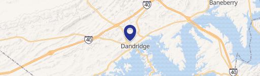
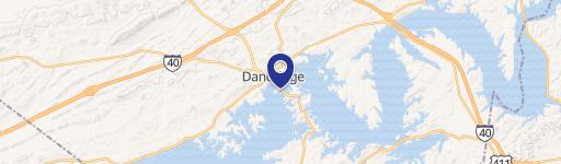
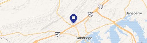
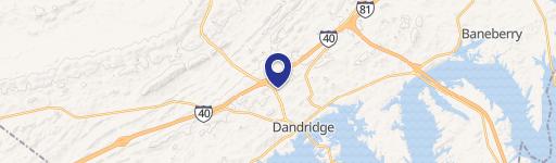
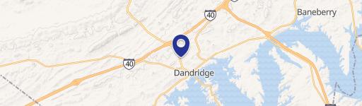
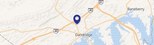
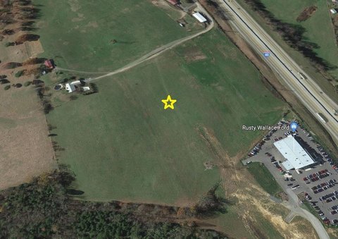
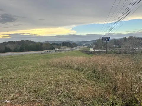
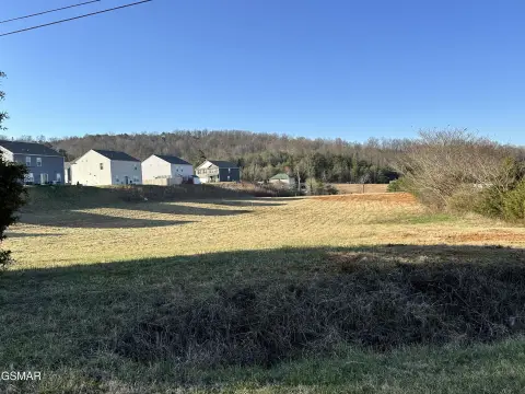
667 Hwy 92nd S Dandridge, TN 37725-4623
the B-3, Interstate Commercial District, the following regulations shall apply: 1. Uses Permitted. a. Retail trade - building materials, hardware, farm equipment. b. Retail trade - automotive, marine craft, aircraft and accessories, restaurants, grocery stores, service stations, convenience centers (gas, fuel, restaurants), real estate offices. c. Retail tra…
Cap rate
Implied · in-place · derived from last sale + estimated NOIValue
AI, CAP & Alternative Use estimations · Realmo proprietary blendProperty tax & assessments
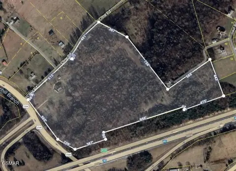
Comparables
6 recent transactions · within 1.5 miComparable in this City
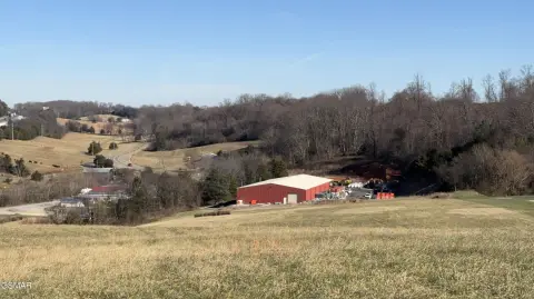
Similar Nearby for Sale
Similar Nearby for Lease
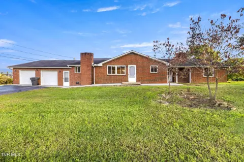


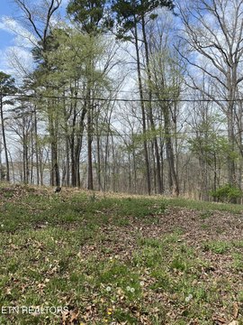
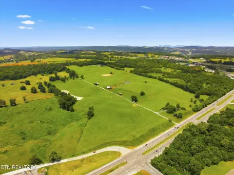
Property description
Physical attributes from public recordsZoning & alternative use
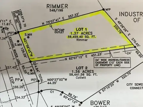
B-3 · Dandridge, TNthe B-3, Interstate Commercial District, the following regulations shall apply: 1. Uses Permitted. a. Retail trade - building materials, hardware, farm equipment. b. Retail trade - automotive, marine craft, aircraft and accessories, restaurants, grocery stores, service stations, convenience centers (gas, fuel, restaurants), real estate offices. c. Retail trade - fuel and ice. d. Repair services - automotive and marine repair services. e. Contract construction services. f. Educational services. g. Indoor facility amusements that are completely contained within the enclosed confines of the structures. h. Recreational activities such as golf courses, marinas and public parks, miniature golf, tennis courts and swimming pools. i. Utilities not including sewage disposal and solid waste disposal. j. Motor vehicle transportation. k. Animal husbandry services. l. Marinas. m. Signs subject to the provisions of Section 14-604. n. Public Buildings - owned by governmental agencies or nonprofit organizations. o. Any use customarily incidental to the above permitted uses. p. Storage and mini-storage for household and recreational items (per ordinance 03/04-23). q. Professional offices New automobile retail businesses with repair services in connection therewith (per ordinance 03/04-23) (per ordinance 14/15-04, December 9, 2014) (per ordinance 16/17-03, August 9, 2016) r. Laundromats and drycleaners (per ordinance 03/04-23). s. Hotels, motels, lodges and bed and breakfast inns (per ordinance 05/06- 10) 2. Special Exception. The following uses may be permitted on review by the board of zoning appeals as in accordance with Section 14-805: a. Travel trailer parks subject to Section 14-609 of this ordinance. b. Communications Towers c. Indoor Sport Shooting Ranges, provided all requirements in Section 14 612 are met (Ordinance No.20/21-23, 4/13/21) d. Any business or service which, in the opinion of the board of zoning appeals is of the same general nature of the above permitted uses. 59 3. Area Regulations. Buildings shall be located so as to comply with the following requirements: a. Minimum lot width at building line: one hundred and fifty (150) feet. b. Minimum depth of front yard: fifty (50) feet. c. Minimum width of side yards: twenty-five (25) feet except on a corner lot in which the side yard setback is thirty (30) feet. d. Minimum width of rear yard: twenty (20) feet. e. Minimum lot size: 40,000 square feet. f.
Costs & Benchmarks
Operating expenses, capex projections, utility benchmarks, and submarket comparables — all in one view.
Risks
Flood, climate, environmental, title, and tenant-concentration risk — surfaced with mitigations and source citations.


