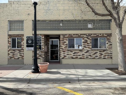
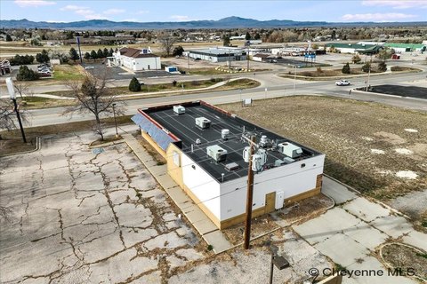
650 Gilchrist St Wheatland, WY 82201-7818
Property profile & analytics
650 Gilchrist St, Wheatland, WY 82201-7818
- Specialty properties
- 1,950 SF
- 7.77 lot acres
Property ID
US95-0204530
The Realmo ID is a unique identifier assigned to every property, incorporating country codes and precise geo-coordinates for 300x300-foot land blocks. It enables standardized data collection and seamless integration of disparate sources such as ownership, tax, title data and physical specifications. By aggregating current and historical records, the Realmo ID powers advanced analytics and delivers deep, verifiable insights for real estate professionals.
Location Intelligence
Current Use by Public Records
- Specialty properties
Property Details for 650 Gilchrist St
- Year built
- 1979
- Construction
- FRAME
- Lot size
- 7.77 lot acres
- Property type
- Specialty properties
- APN
- 246813105002CM
- APU
- 246813105002CM
Sales History
| Date | Price | Buyer | Seller | Deed Type | Mortgage |
|---|---|---|---|---|---|
| May 31, 2023 | — | Karen Johnson | — | Deed · related | $125k · Platte Valley Bank |
| Oct 6, 2017 | — | Rick Leroy Bowen | — | Deed · related | $75k · Platte Valley Bank |
Value Estimations
based on Realmo’s proprietary methodology
-
AI approach
-
CAP approach
-
Comparable approach
-
Alternative Use
Get a detailed, property-specific estimation — fast and free
Location Insight
- Map
- Local Demand
- City
- Wheatland
- County
- Platte
- State
- Wyoming
- Longitude
- -104.948
- Latitude
- 42.0552
Property Tax & Assessments
Tax date
Tax Amount
Assessed Land Value
Assessed Improvement Value
Total Assessed Value
Applied Tax Rate
Land Market Value
Improvement Market Value
Total Market Value
2022
$2,889
$2,956
$35,058
$38,014
-
$31,112
$369,027
$400,139