6394th Us Hwy 151 Beaver Dam, WI 53916-9244
Property profile & analytics
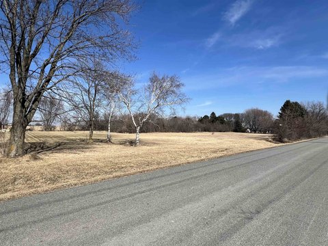
6394th Us Hwy 151, Beaver Dam, WI 53916-9244
- Commercial real estate
- 5.15 lot acres
Property ID
US92-0549741
The Realmo ID is a unique identifier assigned to every property, incorporating country codes and precise geo-coordinates for 300x300-foot land blocks. It enables standardized data collection and seamless integration of disparate sources such as ownership, tax, title data and physical specifications. By aggregating current and historical records, the Realmo ID powers advanced analytics and delivers deep, verifiable insights for real estate professionals.
Location Intelligence
Current Use by Public Records
- Commercial real estate
Property Details for 6394th Us Hwy 151
- Lot size
- 5.15 lot acres
- Property type
- Commercial real estate
- APN
- 008-1113-1313-000
- APU
- 811131313000
Sales History
| Date | Price | Buyer | Seller | Deed Type | Mortgage |
|---|---|---|---|---|---|
| Jul 2, 2025 | $420,000 | Benjamin J Harper | Van Buren Properties LLC | Warranty Deed | $309k · Horicon Bank |
| Jan 2, 2015 | $325,000 | Ban Buren Properties LLC | Comcg LLC | Warranty Deed | $260k · The National Bank |
| Aug 6, 2010 | — | Gjl And Tll Revocable Living Trust | Gregg J Laplant | Quit Claim Deed · related | — |
Value Estimations
based on Realmo’s proprietary methodology
-
AI approach
-
CAP approach
-
Comparable approach
-
Alternative Use
Get a detailed, property-specific estimation — fast and free
Location Insight
- Map
- Local Demand
- City
- Beaver Dam
- County
- Dodge
- State
- Wisconsin
- Longitude
- -88.8934
- Latitude
- 43.4256
- CBSA code
- 13180
- CBSA name
- BEAVER DAM, WI MICROPOLITAN STATISTICAL AREA
Property Tax & Assessments
Tax date
Tax Amount
Assessed Land Value
Assessed Improvement Value
Total Assessed Value
Applied Tax Rate
Land Market Value
Improvement Market Value
Total Market Value
2023
$7,759
$100,800
$347,800
$448,600
-
$0.00
$0.00
$639,000