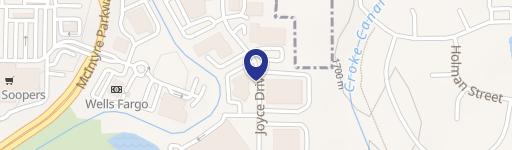
6385 Mcintyre St Arvada, CO 80403-7446
Property profile & analytics
6385 Mcintyre St, Arvada, CO 80403-7446
- Commercial land
- 1.16 lot acres
Property ID
US13-0782116
The Realmo ID is a unique identifier assigned to every property, incorporating country codes and precise geo-coordinates for 300x300-foot land blocks. It enables standardized data collection and seamless integration of disparate sources such as ownership, tax, title data and physical specifications. By aggregating current and historical records, the Realmo ID powers advanced analytics and delivers deep, verifiable insights for real estate professionals.
Location Intelligence
Current Use by Public Records
- Commercial land
Property Details for 6385 Mcintyre St
- Lot size
- 1.16 lot acres
- Property type
- Commercial land
- APN
- 30-121-06-018
- APU
- 3012106018
Sales History
| Date | Price | Buyer | Seller | Deed Type | Mortgage |
|---|---|---|---|---|---|
| Nov 4, 2016 | $18,849,000 | Gkt Westwoods II LLC | Rocky Mountain Cap Group LLC | Grant Deed | — |
| Mar 2, 2007 | $4,741,547 | Arvada Structures LLC | Westwoods Phase II LLC | Grant Deed | $11M · New Frontier Bank |
| Jun 22, 2006 | — | Westwoods Phase II LLC | Studen,nick JR | Quit Claim Deed · related | — |
| Aug 18, 2004 | $3,075,000 | Nick Studen JR. | Westwoods Dev Co LLC | Grant Deed | $2.1M · Horizons Banks NA |
Value Estimations
based on Realmo’s proprietary methodology
-
AI approach
-
CAP approach
-
Comparable approach
-
Alternative Use
Get a detailed, property-specific estimation — fast and free
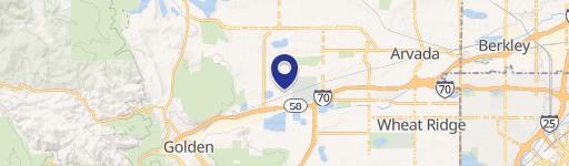
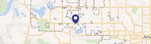
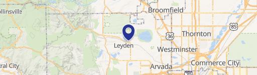
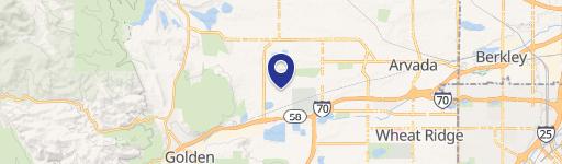
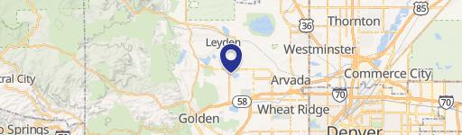
Location Insight
- Map
- Local Demand
- City
- Arvada
- County
- Jefferson
- State
- Colorado
- Longitude
- -105.17
- Latitude
- 39.8123
- CBSA code
- 19740
- CBSA name
- DENVER-AURORA, CO METROPOLITAN STATISTICAL AREA
Property Tax & Assessments
Tax date
Tax Amount
Assessed Land Value
Assessed Improvement Value
Total Assessed Value
Applied Tax Rate
Land Market Value
Improvement Market Value
Total Market Value
2023
$30
$195
$0.00
$195
-
$700
$0.00
$700