6278 Airport Rd Eureka, MT 59917
 For Sale
1 / 16
For Sale
1 / 16
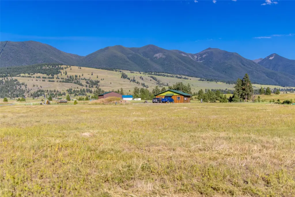
5 acres with expansive mountain and Big Sky views! If you love magnificent sunrises and sunsets, as well as easy access to all the recreation that beautiful northwest Montana has to offer, this is the property you've been waiting for! This valley location has a prolific well (60 gpm!) and power has been brought to the building site. No worries about the uncertainties of drilling a well or the high costs of bringing in power with this property! Enjoy the abundance of nearby public lands, lakes, mountains, rivers, and golf courses. Located just minutes from Eureka and Rexford and less than an hour from the ski resorts in Whitefish, MT and Fernie, B.C. You can embrace Montana’s renowned recreational lifestyle and slower pace to your heart’s content. Call John & Cindy Ruth at 406-890-0155 or your real estate professional.
Cap rate
Implied · in-place · derived from last sale + estimated NOIValue
AI, CAP & Alternative Use estimations · Realmo proprietary blendComparables
6 recent transactions · within 1.5 miComparable in this City


Similar Nearby for Sale
Property description
Physical attributes from public recordsZoning & alternative use
No recorded transactions found for this property.
Costs & Benchmarks
Operating expenses, capex projections, utility benchmarks, and submarket comparables — all in one view.
Risks
Flood, climate, environmental, title, and tenant-concentration risk — surfaced with mitigations and source citations.


