6251 S High St Lockbourne, OH 43137
 For Sale
1 / 3
For Sale
1 / 3
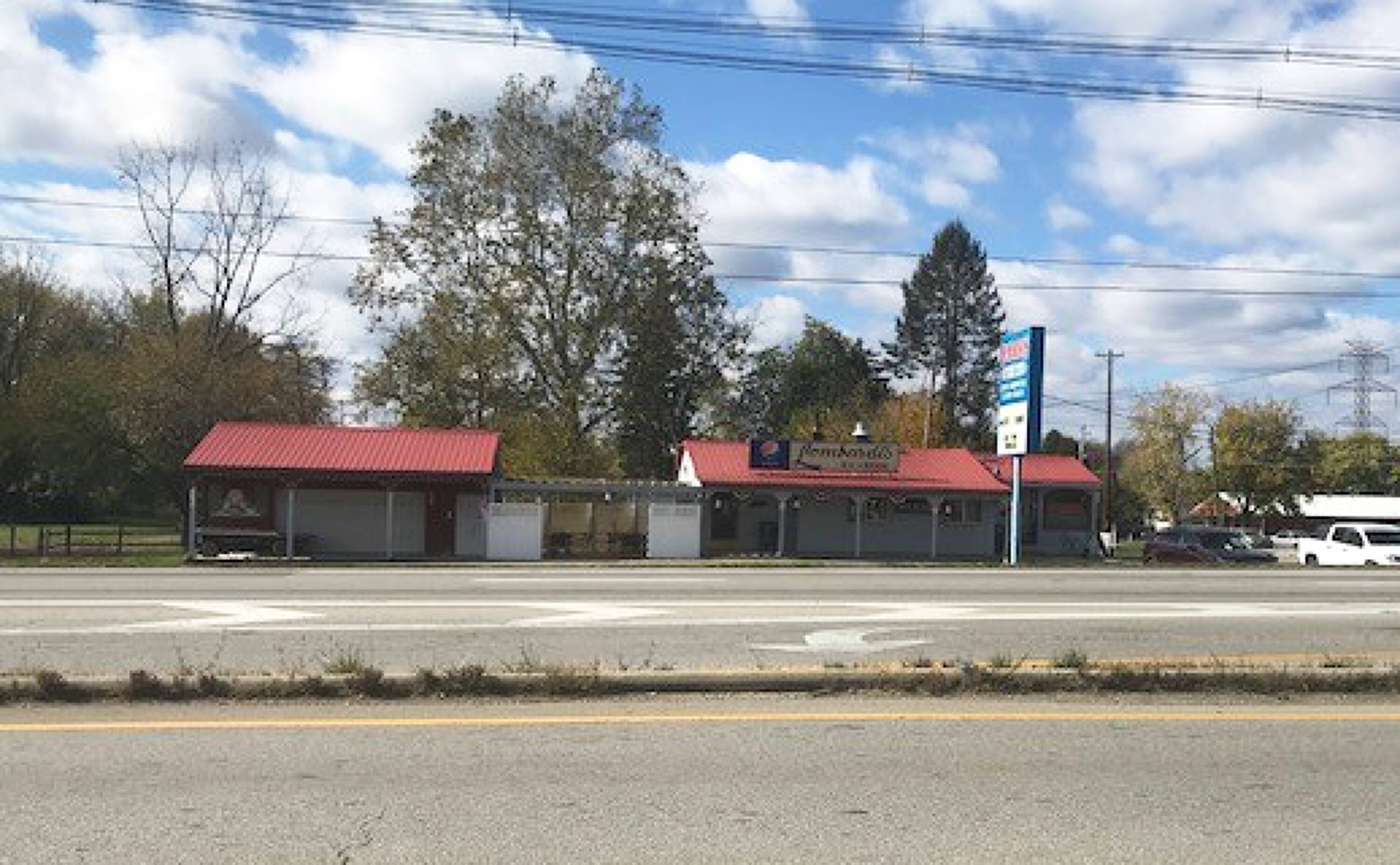
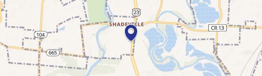
This exceptional 1,943 sq ft restaurant, built in 1957, is situated on a 1.52-acre lot at the signalized intersection of S High Street and SR 665 in Lockbourne, Ohio (zip code 43137). Boasting approximately 160 feet of frontage along bustling South High Street (SR 23), this property benefits from high daily traffic counts of around 36,551 vehicles. The single-story building sits on a parcel with APN numbers 150-001169, 150-001170, and 150-001171, and is zoned Community Commercial (CC). Located roughly 12 miles south of downtown Columbus, this location presents a unique investment opportunity within a designated Tax Incentive Opportunity Zone. The asking price is $700,000, translating to $360.27 per square foot. Its prime location makes it suitable for a variety of uses, including fast food or fast-casual restaurants, gas stations, and motels. This property offers significant potential for growth and return on investment. The property consists of one building.
Cap rate
Implied · in-place · derived from last sale + estimated NOIValue
AI, CAP & Alternative Use estimations · Realmo proprietary blendProperty tax & assessments
Tax year 2023Comparables
6 recent transactions · within 1.5 miComparable in this City


Similar Nearby for Sale


Similar Nearby for Lease


Property description
Physical attributes from public recordsZoning & alternative use
No recorded transactions found for this property.
Costs & Benchmarks
Operating expenses, capex projections, utility benchmarks, and submarket comparables — all in one view.
Risks
Flood, climate, environmental, title, and tenant-concentration risk — surfaced with mitigations and source citations.


