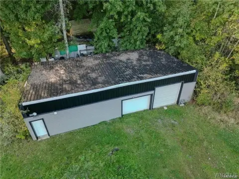
Property profile & analytics
6200 Robinson Rd Lockport, NY 14094-9544
- Warehouses
- 13,220 SF
- 2.90 lot acres
OFF-MARKET
Value Estimations
$760,000
Show details
Cap Rate Potential
Location Intelligence
Property ID
US63-0132846
The Realmo ID is a unique identifier assigned to every property, incorporating country codes and precise geo-coordinates for 300x300-foot land blocks. It enables standardized data collection and seamless integration of disparate sources such as ownership, tax, title data and physical specifications. By aggregating current and historical records, the Realmo ID powers advanced analytics and delivers deep, verifiable insights for real estate professionals.
Current Use by Public Records
- Town of Lockport Assessors Office / City Tax Office
- Lockport Building Inspector / City Government Office
- Lockport Water Maintenance / City Government Office
Property Details for 6200 Robinson Rd
- Year built
- 1970
- Lot size
- 2.90 lot acres
- Property size
- 13,220 SF
- Zone code
- B-2
- Property type
- Warehouses
- APN
- 292600 138.09-1-12
- APU
- 29260013809112
Value Estimations
based on Realmo’s proprietary methodology
-
Comparable approach
- Method
- Estimation
- Statistic Estimate
- $823,000
Market price range: $315k - $824k -
Alternative Use
- Use
- Estimation
- WAREHOUSE, STORAGE
- $560,000 Current use
- RESTAURANT
- $1,115,000 Change: +99% Conversion: Difficult
- AUTO REPAIR, GARAGE
- $1,015,000 Change: +82% Conversion: Easy
- OFFICE BUILDING
- $905,000 Change: +62% Conversion: Difficult
- COMMERCIAL (GENERAL)
- $560,000 Change: +1% Conversion: Difficult
- INDUSTRIAL (GENERAL)
- $540,000 Change: -3% Conversion: Easy
Get a detailed, property-specific valuation — fast and free
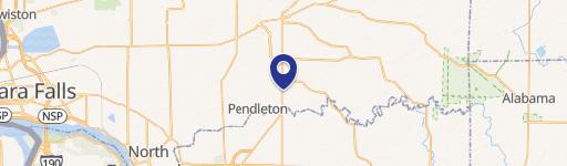
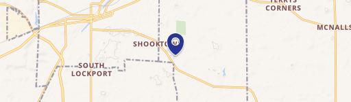
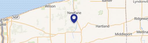
Location Insight
- Map
- Local Demand
- City
- Lockport
- County
- Niagara
- State
- New York
- Longitude
- -78.6937
- Latitude
- 43.1318
- CBSA code
- 15380
- CBSA name
- BUFFALO-NIAGARA FALLS, NY METROPOLITAN STATISTICAL AREA
Property Tax & Assessments
Tax date
Tax Amount
Assessed Land Value
Assessed Improvement Value
Total Assessed Value
Applied Tax Rate
Land Market Value
Improvement Market Value
Total Market Value
0
$0.00
$215,000
$525,000
$740,000
-
$215,000
$525,000
$740,000