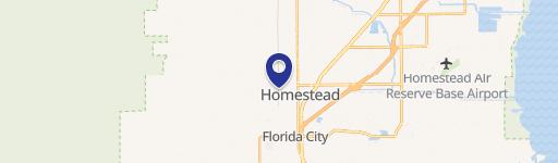
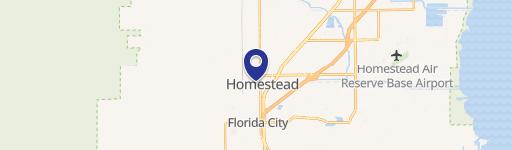
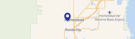
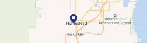
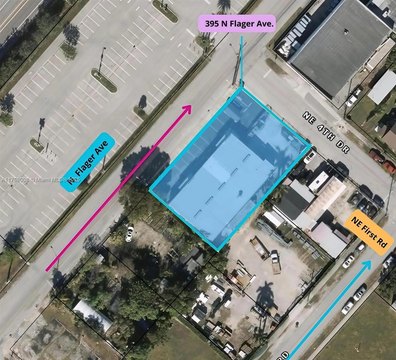
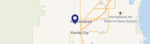
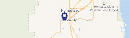
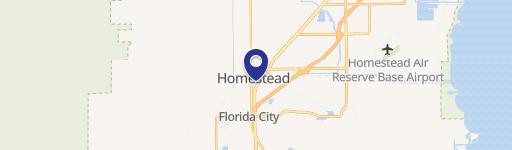
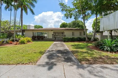
605 Mowry Dr Homestead, FL 33030-5742
Property profile & analytics
605 Mowry Dr, Homestead, FL 33030-5742
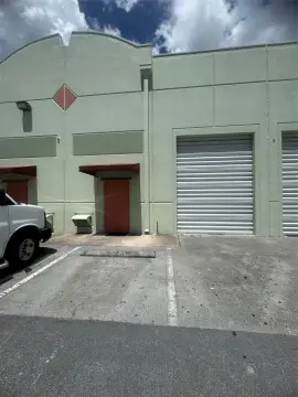
- Manufacturing properties
- 7,440 SF
- 0.56 lot acres
Property ID
US18-9155524
The Realmo ID is a unique identifier assigned to every property, incorporating country codes and precise geo-coordinates for 300x300-foot land blocks. It enables standardized data collection and seamless integration of disparate sources such as ownership, tax, title data and physical specifications. By aggregating current and historical records, the Realmo ID powers advanced analytics and delivers deep, verifiable insights for real estate professionals.
Location Intelligence
Current Use by Public Records
- St Pierre Take Out Food / Restaurant / Take-out & Catering
Property Details for 605 Mowry Dr
- Year built
- 1984
- Construction
- CONCRETE
- Lot size
- 0.56 lot acres
- Zone code
- 6600:COMMERCIAL,LIBERAL
- Property type
- Manufacturing properties
- APN
- 10-7813-024-1840
- APU
- 1078130241840
Sales History
| Date | Price | Buyer | Seller | Deed Type | Mortgage |
|---|---|---|---|---|---|
| May 17, 2017 | $650,000 | Amm Mowry LLC | Trimino,roberto | Warranty Deed | — |
| Jul 15, 2008 | $750,000 | Roberto Trimino | Homestead Holdings INC | Warranty Deed | $600k · Interbay Funding LLC |
| — | — | Jose Guerrero | — | Deed Of Trust · related | $155k · Unibank |
Value Estimations
based on Realmo’s proprietary methodology
-
CAP approach
- CAP Return
- Estimation
- 6%
- $1,340,000
- 6.5%
- $1,235,000
- 7%
- $1,145,000
-
Comparable approach
- Method
- Estimation
- Statistic Estimate
- $1,438,000
- AI Estimate
- $1,018,000
Market price range: $841k - $1.85MMarket price range: $415k - $1.57M -
Alternative Use
- Use
- Estimation
- INDUSTRIAL (GENERAL)
- $1,435,000 Current use
- WAREHOUSE, STORAGE
- $1,590,000 Change: +11% Conversion: Easy
Get a detailed, property-specific estimation — fast and free
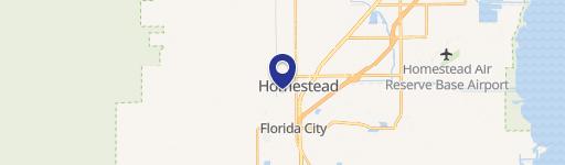
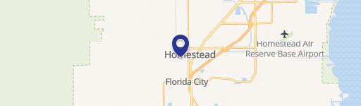
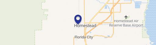
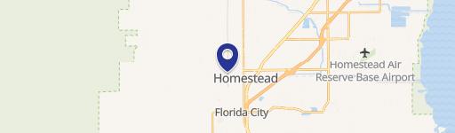
Location Insight
- Map
- Local Demand
- City
- Homestead
- County
- Miami-dade
- State
- Florida
- Longitude
- -80.4858
- Latitude
- 25.4701
- CBSA code
- 33100
- CBSA name
- MIAMI-FORT LAUDERDALE-MIAMI BEACH, FL METROPOLITAN STATISTICAL AREA
Property Tax & Assessments
Tax date
Tax Amount
Assessed Land Value
Assessed Improvement Value
Total Assessed Value
Applied Tax Rate
Land Market Value
Improvement Market Value
Total Market Value
2023
$14,205
$365,820
$390,180
$756,000
-
$365,820
$390,180
$756,000